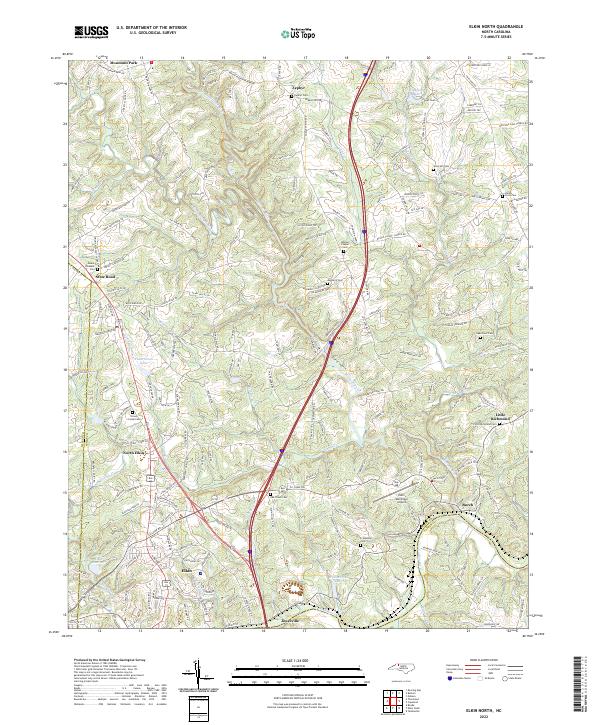
2022 Map of Elkin North
USGS Topo · Published 2022About this map
Elkin and Jonesville sit at the southern edge of this landscape, divided by the Yadkin River and connected by a network of local roads that weave through the foothills of the Blue Ridge. The terrain is defined by the Mitchell River and its numerous tributaries, including Grassy Cr and Camp Cr, which carve a complex series of ridges such as Mitchell Ridge. Significant local landmarks like the Elkin Municipal Airport and Elkin Reservoir serve the growing communities, while older rural patterns remain visible through the numerous country cemeteries scattered across the countryside.
Find a feature on this map
205 named features on this map. Tap any name to fly to it.
Don’t see what you’re looking for? This feature index may not catch every label — zoom into the map to look around manually.
Map Details
Editions of this 2022 Elkin North Map
This is the sole edition of this map. No revisions or reprints were ever made.
Other maps of this area

1891 · Yadkinville
USGS Topo · 1:125,000

1893 · Yadkinville
USGS Topo · 1:125,000

1953 · Winston-Salem
USGS Topo · 1:250,000

1955 · Winston-Salem
USGS Topo · 1:250,000

1962 · Winston-Salem
USGS Topo · 1:250,000

1966 · Yadkinville
USGS Topo · 1:24,000

1970 · Copeland
USGS Topo · 1:24,000
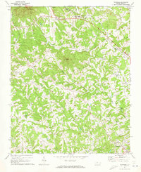
1971 · Thurmond
USGS Topo · 1:24,000
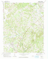
1971 · Dobson
USGS Topo · 1:24,000
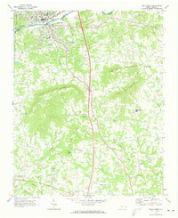
1971 · Elkin South
USGS Topo · 1:24,000