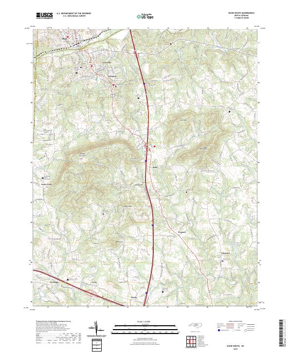
2022 Map of Elkin South
USGS Topo · Published 2022About this map
The Yadkin River defines the northern landscape of this region, separating Elkin in Surry County from the neighboring communities of Jonesville and Arlington in Yadkin County. This area transitions from the riverside valley into the prominent ridges of the Brushy Mountains, where peaks like Star Peak and Rock House Mtn overlook a network of smaller drainages including Fall Cr, Beaverdam Cr, and Deep Cr. The transportation layout is dominated by the north-south corridor of U.S. Route 21, which links the riverside industrial centers with rural upland settlements like Rena, Wagoner, and Longtown. Numerous family and community burial grounds, such as Mount Pleasant Cem, Island Ford Cem, and the Swan Creek Baptist Church Cem, are scattered across the terrain, reflecting the long-established rural settlement patterns that persist alongside more modern infrastructure like the Swan Creek Airport.
Find a feature on this map
178 named features on this map. Tap any name to fly to it.
Don’t see what you’re looking for? This feature index may not catch every label — zoom into the map to look around manually.
Map Details
Editions of this 2022 Elkin South Map
This is the sole edition of this map. No revisions or reprints were ever made.
Historical Maps of Arlington Through Time
9 maps found

1966 Lone Hickory
Yadkin County, NC
1970 Brooks Crossroads
Yadkin County, NC
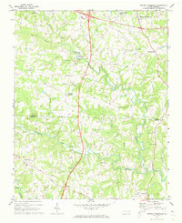
1971 Elkin South
Yadkin County, NC

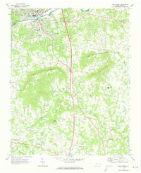
1976 Elkin South
Yadkin County, NC
1996 Brooks Crossroads
Yadkin County, NC
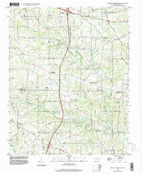
1996 Elkin South
Yadkin County, NC
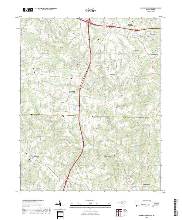
2022 Brooks Crossroads
Yadkin County, NC
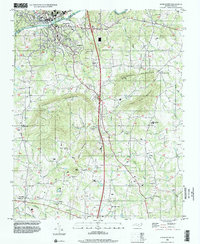
2022 Elkin South
Yadkin County, NC
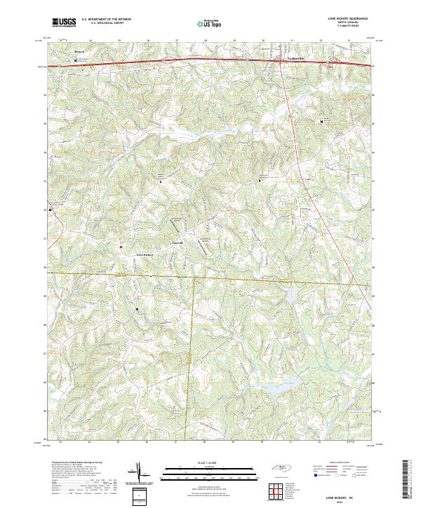
2022 Lone Hickory
Yadkin County, NC