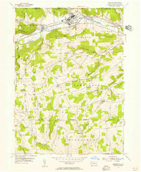
1954 Map of Elkland
USGS Topo · Published 1956About this map
The Cowanesque River corridor defines this mid-century landscape where industrial infrastructure and rural traditions intersect. In Elkland, the presence of tailing ponds and a sewage disposal site near the river indicates the town's active industrial role, while a prominent Television Tower stands atop Briar Hill. The valley floor is tightly packed with transportation history, showing the parallel tracks of the Baltimore and Ohio and the New York Central railroads as they navigate the narrow passage through Osceola and Nelson.
Find a feature on this map
54 named features on this map. Tap any name to fly to it.
Don’t see what you’re looking for? This feature index may not catch every label — zoom into the map to look around manually.
Map Details
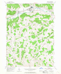
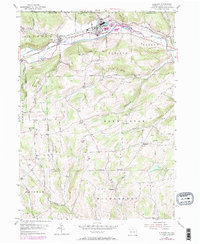
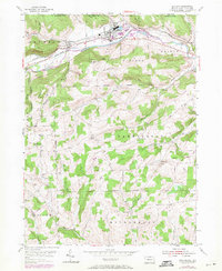
Editions of this 1954 Elkland Map
4 editions found
Other maps of this area

1900 · Tioga
USGS Topo · 1:62,500

1900 · Elkland
USGS Topo · 1:62,500

1902 · Tioga
USGS Topo · 1:62,500

1914 · Corning
USGS Topo · 1:62,500

1924 · Woodhull
USGS Topo · 1:48,000

1926 · Woodhull
USGS Topo · 1:62,500

1944 · Woodhull
USGS Topo · 1:62,500

1944 · Corning
USGS Topo · 1:62,500

1950 · Elmira
USGS Topo · 1:250,000

1953 · Woodhull
USGS Topo · 1:24,000