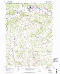
1954 Map of Elkland
USGS Topo · Published 1971About this map
The Cowanesque River valley serves as the primary corridor for settlement and industry along the northern border of Tioga County. The industrial core at Elkland is shown with its extensive rail infrastructure, where the Baltimore and Ohio and Penn Central lines converge to serve local commerce. Beyond the river valley, the terrain rises sharply toward Briar Hill and Windfall Hill, transitioning from the busy rail-and-river economy of the lowlands to a landscape defined by upland farming and natural resource extraction. Evidence of the region's energy development is visible through the pipeline network and numerous Gas Wells near Elbridge. Genealogists will find a high density of rural landmarks, including the Pleasant Valley Cem, Butler Hill Ch, and scattered family burial grounds like the Meurey Cem and Peters Cem which ground the area's agricultural history.
Find a feature on this map
50 named features on this map. Tap any name to fly to it.
Don’t see what you’re looking for? This feature index may not catch every label — zoom into the map to look around manually.
Map Details
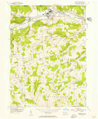
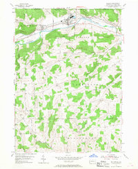
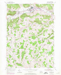
Editions of this 1954 Elkland Map
4 editions found
Other maps of this area

1900 · Tioga
USGS Topo · 1:62,500

1900 · Elkland
USGS Topo · 1:62,500

1902 · Tioga
USGS Topo · 1:62,500

1914 · Corning
USGS Topo · 1:62,500

1924 · Woodhull
USGS Topo · 1:48,000

1926 · Woodhull
USGS Topo · 1:62,500

1944 · Woodhull
USGS Topo · 1:62,500

1944 · Corning
USGS Topo · 1:62,500

1950 · Elmira
USGS Topo · 1:250,000

1953 · Woodhull
USGS Topo · 1:24,000