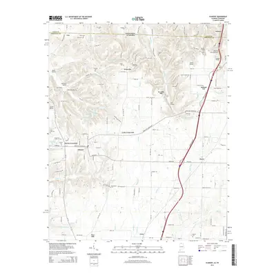
2014 Map of Elkmont
USGS Topo · Published 2014About this map
Elkmont serves as a central hub in north Alabama, where the landscape transitions across the state line into Tennessee. This survey captures a region defined by agricultural heritage and small-town crossroads, featuring family-named settlements like Pettusville and Holland Gin. The area's history is deeply rooted in its local institutions, evidenced by a high density of rural burial grounds such as New Garden Cem, Reunion Cem, and Pettusville Church Cem.
Find a feature on this map
134 named features on this map. Tap any name to fly to it.
Don’t see what you’re looking for? This feature index may not catch every label — zoom into the map to look around manually.
Map Details
Editions of this 2014 Elkmont Map
This is the sole edition of this map. No revisions or reprints were ever made.
Other maps of this area

1888 · Huntsville
USGS Topo · 1:125,000

1892 · Huntsville
USGS Topo · 1:125,000

1935 · Athens
USGS Topo · 1:24,000

1936 · Capshaw
USGS Topo · 1:24,000

1936 · Aspen Hill
USGS Topo · 1:24,000

1936 · Elkmont
USGS Topo · 1:24,000

1936 · Ripley
USGS Topo · 1:24,000

1936 · Ardmore
USGS Topo · 1:24,000

1936 · Elkton
USGS Topo · 1:24,000

1936 · Dellrose
USGS Topo · 1:24,000