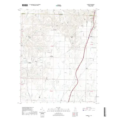
2018 Map of Elkmont
USGS Topo · Published 2018About this map
Elkmont and the surrounding Tennessee-Alabama borderlands are defined by a complex network of springs and creek hollows that once supported a thriving rural economy. The agricultural and processing history of the area is evident in legacy names like Woodfin Mill, Hays Mill, and Holland Gin, indicating the historic importance of water power and cotton processing. The landscape is dotted with numerous family and community burial grounds, including the Antioch Cem Number One, Saint Mark Cem, and Bridgforth Cem, which serve as vital markers for genealogists tracing local lineages. Along the western edge, the Holt Trestle stands as a significant landmark of the rail infrastructure that connected these border communities. Small settlements like Veto, Pettusville, and Locke Crossroads provide clear evidence of early crossroads development and the persistent rural character of Limestone County.
Find a feature on this map
147 named features on this map. Tap any name to fly to it.
Don’t see what you’re looking for? This feature index may not catch every label — zoom into the map to look around manually.
Map Details
Editions of this 2018 Elkmont Map
This is the sole edition of this map. No revisions or reprints were ever made.
Other maps of this area

1888 · Huntsville
USGS Topo · 1:125,000

1892 · Huntsville
USGS Topo · 1:125,000

1935 · Athens
USGS Topo · 1:24,000

1936 · Capshaw
USGS Topo · 1:24,000

1936 · Aspen Hill
USGS Topo · 1:24,000

1936 · Elkmont
USGS Topo · 1:24,000

1936 · Ripley
USGS Topo · 1:24,000

1936 · Ardmore
USGS Topo · 1:24,000

1936 · Elkton
USGS Topo · 1:24,000

1936 · Dellrose
USGS Topo · 1:24,000