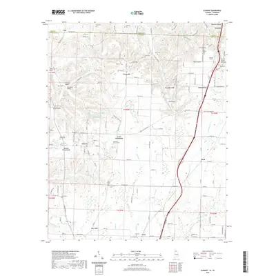
2020 Map of Elkmont
USGS Topo · Published 2020About this map
The town of Elkmont sits at the heart of this north Alabama landscape, serving as a hub for the surrounding rural communities that straddle the Tennessee-Alabama border. The topography is defined by numerous hollows, such as Robinson Hollow and Redus Hollow, which dictate the winding paths of local roads and the courses of Robinson Creek and Mill Creek. A distinct corridor of modern infrastructure is visible to the east, where CSX Transportation rail lines and highway networks connect Thach and Ardmore to the wider region.
Find a feature on this map
145 named features on this map. Tap any name to fly to it.
Don’t see what you’re looking for? This feature index may not catch every label — zoom into the map to look around manually.
Map Details
Editions of this 2020 Elkmont Map
This is the sole edition of this map. No revisions or reprints were ever made.
Other maps of this area

1888 · Huntsville
USGS Topo · 1:125,000

1892 · Huntsville
USGS Topo · 1:125,000

1935 · Athens
USGS Topo · 1:24,000

1936 · Capshaw
USGS Topo · 1:24,000

1936 · Aspen Hill
USGS Topo · 1:24,000

1936 · Elkmont
USGS Topo · 1:24,000

1936 · Ripley
USGS Topo · 1:24,000

1936 · Ardmore
USGS Topo · 1:24,000

1936 · Elkton
USGS Topo · 1:24,000

1936 · Dellrose
USGS Topo · 1:24,000