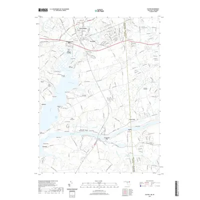
2019 Map of Elkton
USGS Topo · Published 2019About this map
Elkton serves as the focal point for this survey of northeastern Maryland, where Big Elk Creek and Little Elk Creek converge to form the Elk River. The map highlights the town's expansion into neighborhoods like Elkton Heights and Hollingsworth Manor, while preserving the locations of historical burial grounds including Elkton Cem and Gilpin Cem. To the south, the Intracoastal Waterway cuts through the landscape, linking Back Creek to the wider shipping lanes, a vital artery for maritime commerce near Chesapeake City.
Find a feature on this map
186 named features on this map. Tap any name to fly to it.
Don’t see what you’re looking for? This feature index may not catch every label — zoom into the map to look around manually.
Map Details
Editions of this 2019 Elkton Map
This is the sole edition of this map. No revisions or reprints were ever made.
Other maps of this area

1898 · Elkton
USGS Topo · 1:62,500

1899 · Dover
USGS Topo · 1:125,000

1900 · Elkton
USGS Topo · 1:62,500

1900 · Cecilton
USGS Topo · 1:62,500

1904 · Wilmington
USGS Topo · 1:62,500

1906 · Dover
USGS Topo · 1:125,000

1906 · Wilmington
USGS Topo · 1:62,500

1917 · Elkton
USGS Topo · 1:62,500

1919 · Wilmington
USGS Topo · 1:62,500

1920 · Dover
USGS Topo · 1:125,000
Featured Places
- Elkton, MD
- Chesapeake City, MD
- North Chesapeake City, Chesapeake City
- Elkwood Estates, MD
- Brantwood Farms, MD