
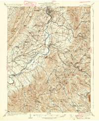
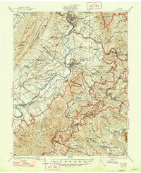
1937 Map of Elkton
USGS Topo · Published 1937About this map
The South Fork Shenandoah River carves a central valley between the high ridges of Massanutten Mountain and the Blue Ridge during the late 1920s and early 1930s. This survey, published in 1937, documents a landscape of small crossroads and mountain missions at a pivotal moment for the region. While the Norfolk and Western Railway serves river towns like Elkton and Shenandoah, the surrounding uplands are dotted with rural infrastructure, including numerous one-room schoolhouses like Dovel Sch and Rocky Bar Sch.
Find a feature on this map
115 named features on this map. Tap any name to fly to it.
Don’t see what you’re looking for? This feature index may not catch every label — zoom into the map to look around manually.
Map Details
Editions of this 1937 Elkton Map
3 editions found
Other maps of this area

1892 · Woodstock
USGS Topo · 1:125,000

1892 · Gordonsville
USGS Topo · 1:125,000

1892 · Harrisonburg
USGS Topo · 1:125,000

1893 · Luray
USGS Topo · 1:125,000

1905 · Luray
USGS Topo · 1:125,000

1929 · Stony Man
USGS Topo · 1:48,000

1930 · Madison
USGS Topo · 1:48,000

1931 · University
USGS Topo · 1:62,500

1933 · Stony Man
USGS Topo · 1:62,500

1933 · Madison
USGS Topo · 1:62,500