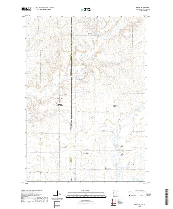
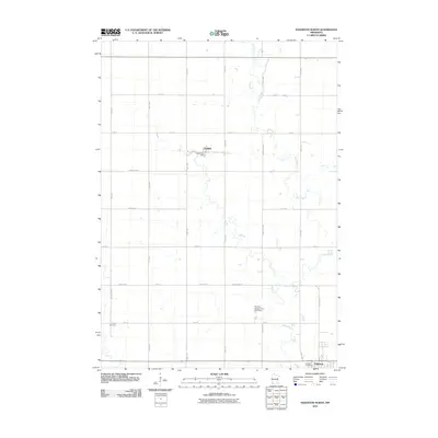
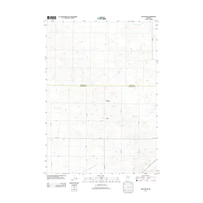
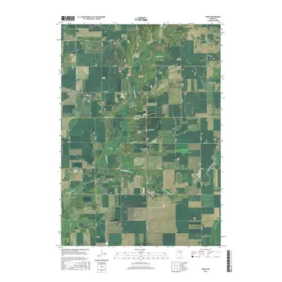
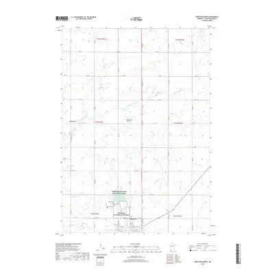
2022 Map of Elkton SW
USGS Topo · Published 2022About this map
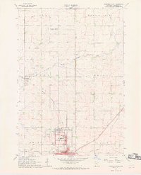
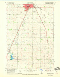
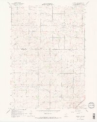
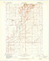
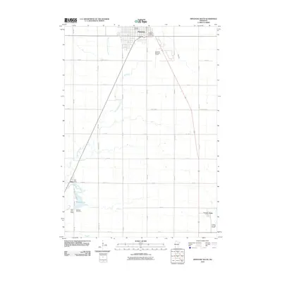
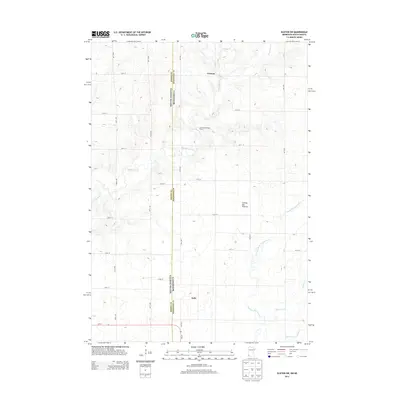
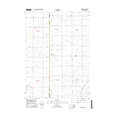
The Coteau des Prairies upland dominates this borderland landscape where Pipestone County, Minnesota, meets Moody County, South Dakota. This 2022 survey documents a largely agricultural region defined by a precise grid of rural roads like Co Rd 71 and 10th Ave that cross the state line. Central to the map is the Pleasant Valley Colony, a communal settlement situated near the headwaters of Flandreau Creek. To the north and south, the small locales of Cresson and Airlie sit along the section lines, reflecting the enduring township-and-range settlement pattern of the upper Midwest. The terrain is marked by subtle rises and glacial features, including Eagle Island and the meandering paths of Pipestone Cr and Willow Cr as they drain the plateau toward the Big Sioux River basin.
Find a feature on this map
45 named features on this map. Tap any name to fly to it.
Don’t see what you’re looking for? This feature index may not catch every label — zoom into the map to look around manually.
Map Details
Editions of this 2022 Elkton SW Map
This is the sole edition of this map. No revisions or reprints were ever made.
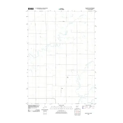
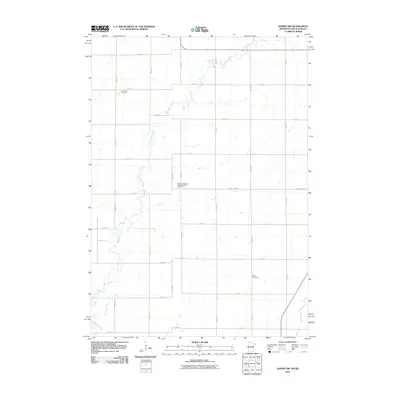
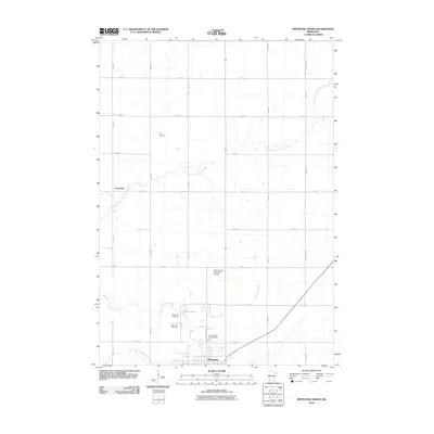
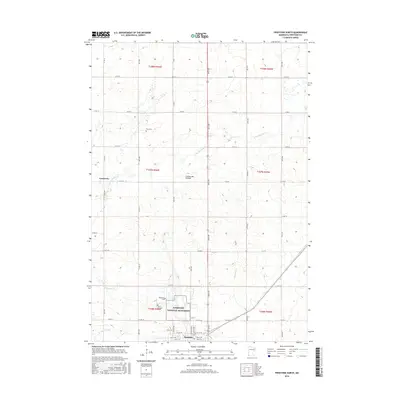
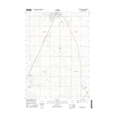
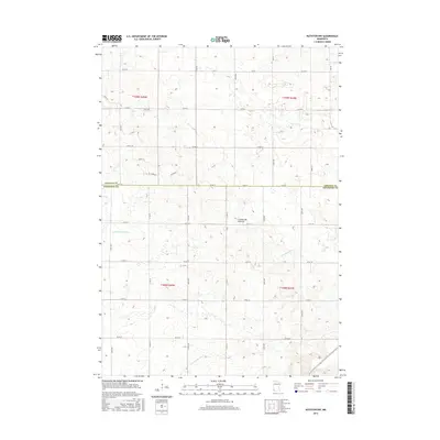
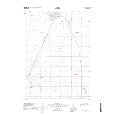
Historical Maps of Airlie Through Time
42 maps found
1967 Edgerton North
Pipestone County, MN
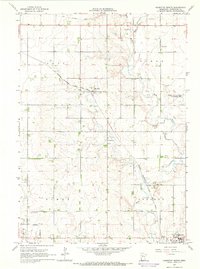
1967 Elkton SW
Pipestone County, MN
1967 Jasper NW
Pipestone County, MN
1967 Pipestone North
Pipestone County, MN
1967 Pipestone South
Pipestone County, MN
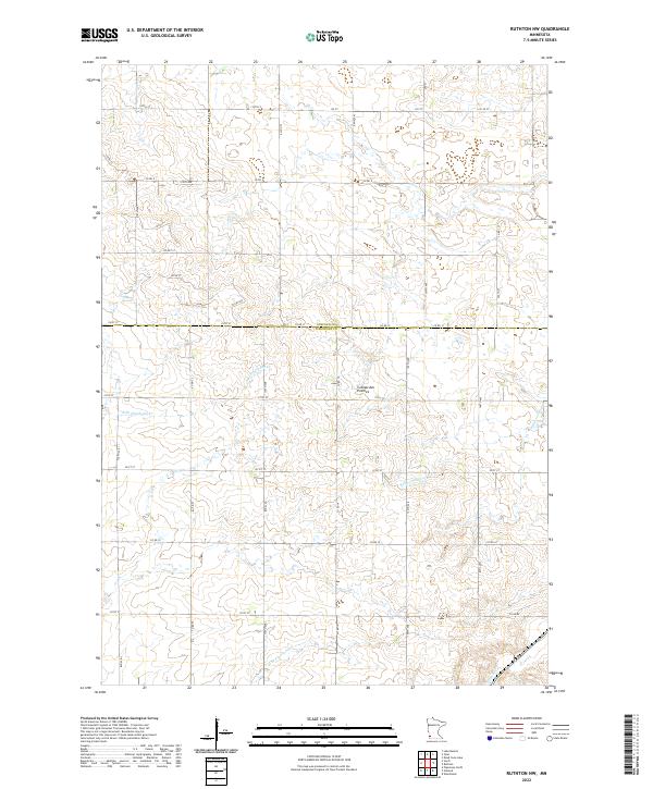
1967 Ruthton NW
Pipestone County, MN
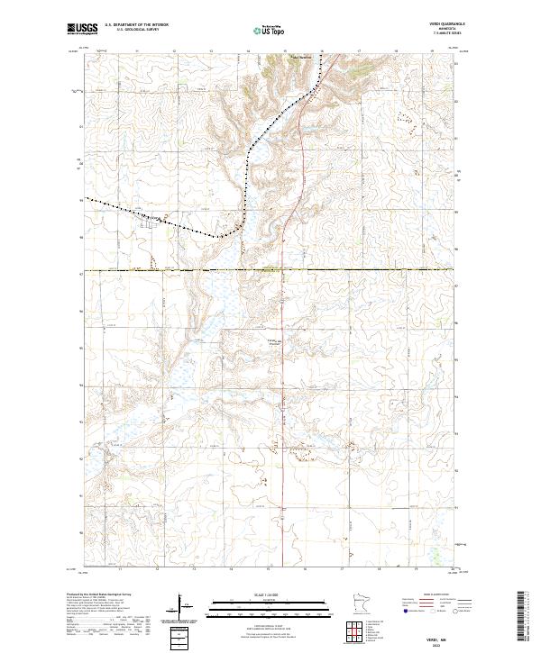
1967 Verdi
Pipestone County, MN
2010 Edgerton North
Pipestone County, MN
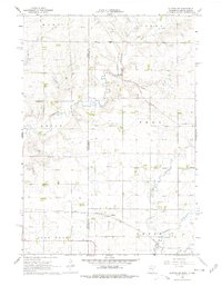
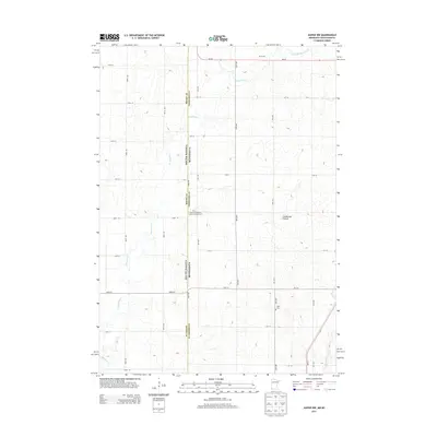
2010 Elkton SW
Pipestone County, MN
2010 Jasper NW
Pipestone County, MN
2010 Pipestone North
Pipestone County, MN
2010 Pipestone South
Pipestone County, MN
2010 Ruthton NW
Pipestone County, MN
2010 Verdi
Pipestone County, MN
2013 Edgerton North
Pipestone County, MN
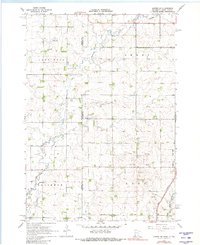
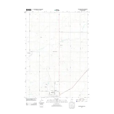
2013 Elkton SW
Pipestone County, MN
2013 Jasper NW
Pipestone County, MN
2013 Pipestone North
Pipestone County, MN
2013 Pipestone South
Pipestone County, MN
2013 Ruthton NW
Pipestone County, MN
2013 Verdi
Pipestone County, MN
2016 Edgerton North
Pipestone County, MN
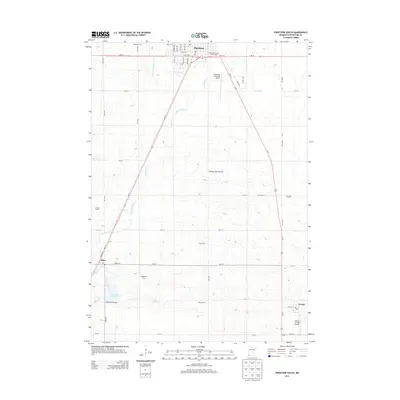
2016 Elkton SW
Pipestone County, MN
2016 Jasper NW
Pipestone County, MN
2016 Pipestone North
Pipestone County, MN
2016 Pipestone South
Pipestone County, MN
2016 Ruthton NW
Pipestone County, MN
2016 Verdi
Pipestone County, MN
2019 Edgerton North
Pipestone County, MN
2019 Elkton SW
Pipestone County, MN
2019 Jasper NW
Pipestone County, MN
2019 Pipestone North
Pipestone County, MN
2019 Pipestone South
Pipestone County, MN
2019 Ruthton NW
Pipestone County, MN
2019 Verdi
Pipestone County, MN
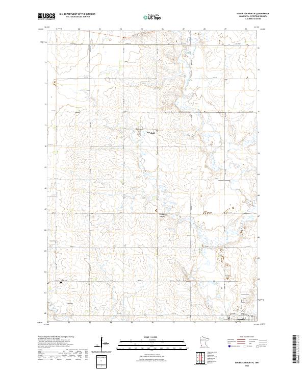
2022 Edgerton North
Pipestone County, MN
2022 Elkton SW
Pipestone County, MN
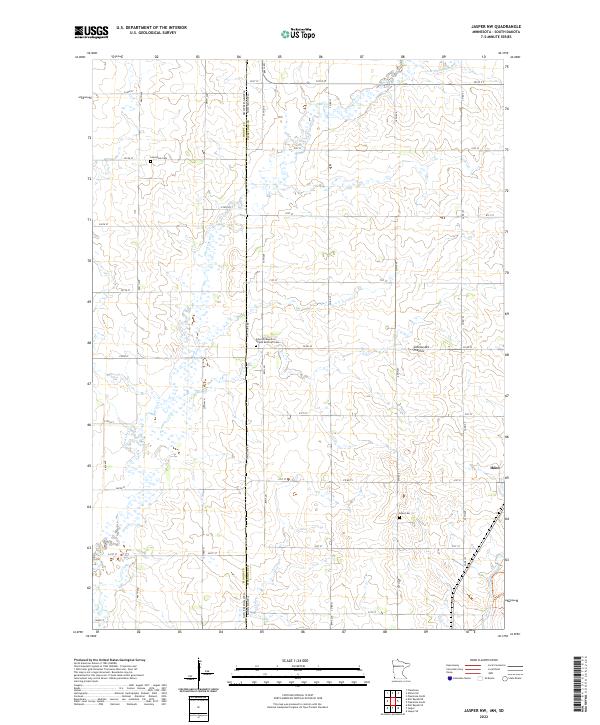
2022 Jasper NW
Pipestone County, MN
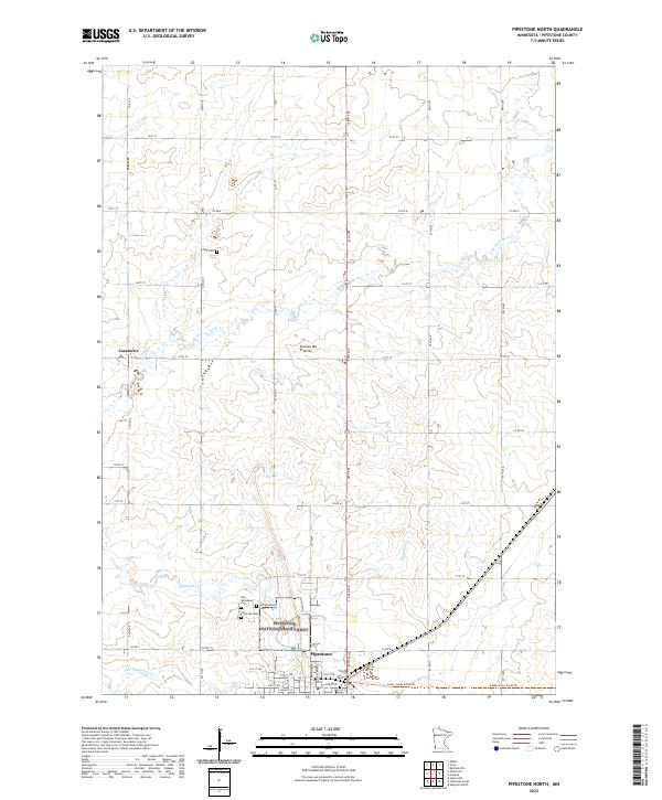
2022 Pipestone North
Pipestone County, MN
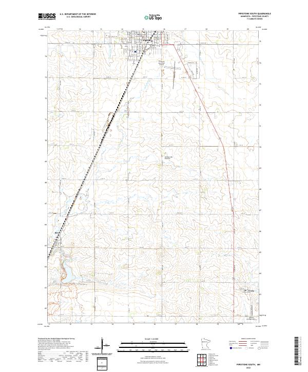
2022 Pipestone South
Pipestone County, MN
2022 Ruthton NW
Pipestone County, MN
2022 Verdi
Pipestone County, MN
Featured Locations
- Airlie, MN
- Cresson, MN
- Lone Rock Township, SD
- Ward Township, SD
- Pleasant Valley Hutterite Colony, Union Township