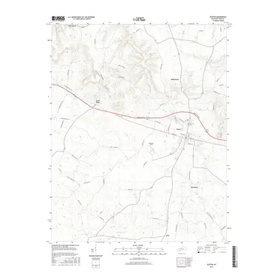
2016 Map of Elkton
USGS Topo · Published 2016About this map
Elkton serves as the central hub for this portion of Todd County, situated at the intersection of significant local thoroughfares and the waters of Elk Fork. The surrounding landscape is defined by its agricultural and residential pockets, including the settlements of Wilhelmina to the north and Bradshaw and Zion to the south. Historically significant sites such as Elkton Cem and Glenwood Cem are clearly marked near the town center, providing essential points of interest for genealogical researchers and local historians.
Find a feature on this map
58 named features on this map. Tap any name to fly to it.
Don’t see what you’re looking for? This feature index may not catch every label — zoom into the map to look around manually.
Map Details
Editions of this 2016 Elkton Map
This is the sole edition of this map. No revisions or reprints were ever made.
Other maps of this area

1944 · Clarksville
USGS Topo · 1:50,000

1950 · Allensville
USGS Topo · 1:24,000

1950 · Guthrie
USGS Topo · 1:24,000

1950 · Pembroke
USGS Topo · 1:24,000

1950 · Olmstead
USGS Topo · 1:24,000

1951 · Pembroke
USGS Topo · 1:24,000

1951 · Elkton
USGS Topo · 1:24,000

1951 · Olmstead
USGS Topo · 1:24,000

1951 · Hammacksville
USGS Topo · 1:24,000

1952 · Sharon Grove
USGS Topo · 1:24,000