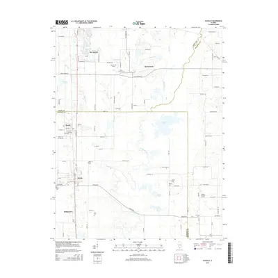
2015 Map of Elkville
USGS Topo · Published 2015About this map
Little Muddy River meanders through the heart of this Southern Illinois landscape, defining the lowlands between the settlements of Du Quoin and Elkville. The transition between the older town center at Old Du Quoin and the newer developments is visible through the positioning of local landmarks like Hemmer RLA Airport. Genealogists will find a dense concentration of burial sites throughout the rural acreage, including the Old Du Quoin Cem, Dutch Hill Cem, and Davis Number 1 Cem. The southern reach of the map features the village of Hallidayboro and several smaller water bodies like Snider Lake and Fox Lake. This geography reflects a typical Perry and Jackson County pattern of small, established mining and railroad communities separated by creeks such as Sixmile Cr and Grannys Br.
Find a feature on this map
101 named features on this map. Tap any name to fly to it.
Don’t see what you’re looking for? This feature index may not catch every label — zoom into the map to look around manually.
Map Details
Editions of this 2015 Elkville Map
This is the sole edition of this map. No revisions or reprints were ever made.
Other maps of this area

1910 · Herrin
USGS Topo · 1:62,500

1910 · Murphysboro
USGS Topo · 1:62,500

1924 · Pinckneyville
USGS Topo · 1:62,500

1926 · Pinckneyville
USGS Topo · 1:62,500

1926 · Duquoin
USGS Topo · 1:62,500

1936 · Herrin
USGS Topo · 1:62,500

1938 · Murphysboro
USGS Topo · 1:62,500

1949 · Paducah
USGS Topo · 1:250,000

1950 · Paducah
USGS Topo · 1:250,000

1954 · Paducah
USGS Topo · 1:250,000