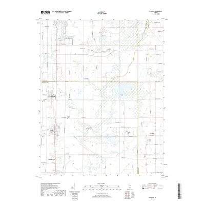
2018 Map of Elkville
USGS Topo · Published 2018About this map
Du Quoin and its surrounding Southern Illinois coal-country settlements are documented here as they appeared in the late 2010s. The landscape is defined by the wandering course of the Little Muddy River and its various tributaries, including Blacksop Cr and Reese Cr. The map preserves a clear distinction between the modern city and Old Du Quoin, which sits to the southeast near the Old Du Quoin Cem.
Find a feature on this map
112 named features on this map. Tap any name to fly to it.
Don’t see what you’re looking for? This feature index may not catch every label — zoom into the map to look around manually.
Map Details
Editions of this 2018 Elkville Map
This is the sole edition of this map. No revisions or reprints were ever made.
Other maps of this area
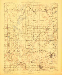
1910 · Herrin
USGS Topo · 1:62,500
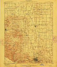
1910 · Murphysboro
USGS Topo · 1:62,500
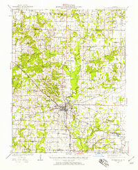
1924 · Pinckneyville
USGS Topo · 1:62,500
1926 · Pinckneyville
USGS Topo · 1:62,500
1926 · Duquoin
USGS Topo · 1:62,500
1936 · Herrin
USGS Topo · 1:62,500
1938 · Murphysboro
USGS Topo · 1:62,500
1949 · Paducah
USGS Topo · 1:250,000
1950 · Paducah
USGS Topo · 1:250,000
1954 · Paducah
USGS Topo · 1:250,000