2024 Map of Ellaville South
USGS Topo · Published 2024About this map
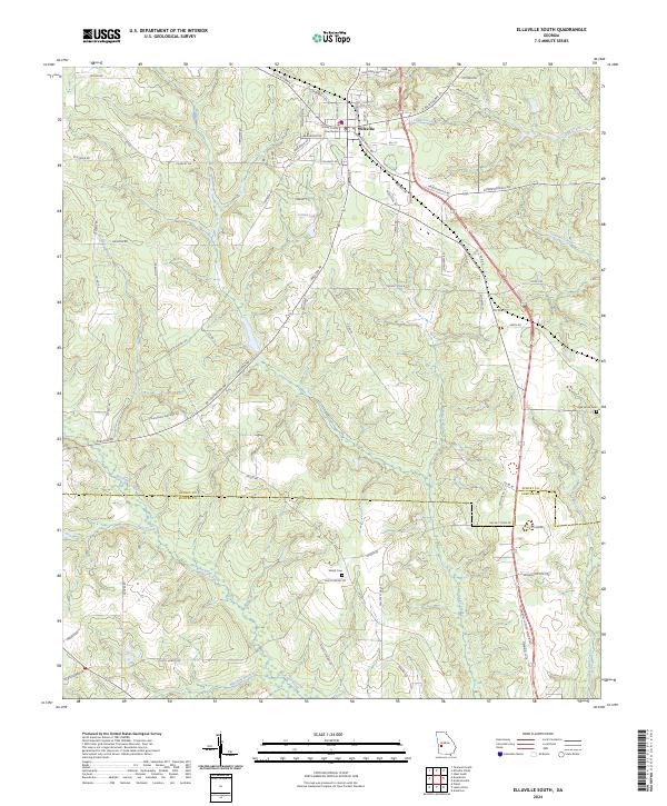
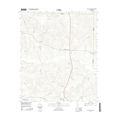
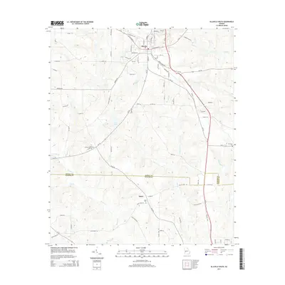
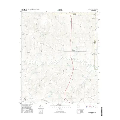
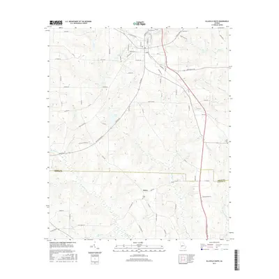
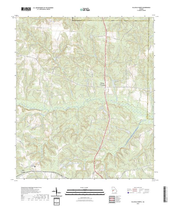
Ellaville serves as the focal point of this region, situated at the northern edge of the survey where the Schley County Courthouse anchors the local civic landscape. The terrain to the south is defined by a dense network of waterways, primarily the meandering Muckalee Creek and its various tributaries including Deer Creek and Ninemile Branch. These streams carve through the landscape, influencing the placement of rural roads like Preston Rd and Ebenezer Rd as they navigate the basin.
Find a feature on this map
75 named features on this map. Tap any name to fly to it.
Don’t see what you’re looking for? This feature index may not catch every label — zoom into the map to look around manually.
Map Details
Editions of this 2024 Ellaville South Map
This is the sole edition of this map. No revisions or reprints were ever made.
Historical Maps of Ellaville Through Time
12 maps found

1971 Ellaville North
Schley County, GA
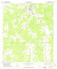
1972 Ellaville South
Schley County, GA
2011 Ellaville North
Schley County, GA
2011 Ellaville South
Schley County, GA
2014 Ellaville North
Schley County, GA
2014 Ellaville South
Schley County, GA
2017 Ellaville North
Schley County, GA
2017 Ellaville South
Schley County, GA
2020 Ellaville North
Schley County, GA
2020 Ellaville South
Schley County, GA
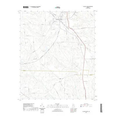
2024 Ellaville North
Schley County, GA
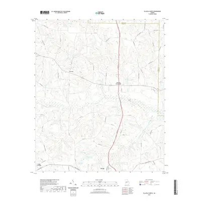
2024 Ellaville South
Schley County, GA