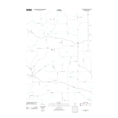
2013 Map of Ellenboro
USGS Topo · Published 2013About this map
Platte River and its numerous tributaries, including Bull Br and Willow Br, carve through the Grant County landscape in this 2013 record. The settlement of Ellenboro sits at a junction of regional roads near Hudson Hollow Rd, while Union marks an intersection further east. The map reveals a robust agricultural economy, explicitly naming family-run operations such as Bren - Mar Farms, Triple H Farm, and Shea Dairy. Transportation infrastructure is documented through landmarks like the Martin Fierro Airport and the Baker Ford Bridge over the river. Terrain features like Buckwheat Ridge and Coon Hollow Rd illustrate the area's characteristic ridges and valleys, which have dictated the placement of roads like Co HWY-A and Co HWY-D.
Find a feature on this map
77 named features on this map. Tap any name to fly to it.
Don’t see what you’re looking for? This feature index may not catch every label — zoom into the map to look around manually.
Map Details
Editions of this 2013 Ellenboro Map
This is the sole edition of this map. No revisions or reprints were ever made.
Other maps of this area

1900 · Lancaster
USGS Topo · 1:125,000

1902 · Mineral Point
USGS Topo · 1:125,000

1904 · Lancaster
USGS Topo · 1:125,000

1908 · Lancaster
USGS Topo · 1:125,000

1952 · Platteville
USGS Topo · 1:24,000

1952 · Rewey
USGS Topo · 1:24,000

1952 · Montfort
USGS Topo · 1:24,000

1957 · Potosi
USGS Topo · 1:24,000

1959 · Dubuque
USGS Topo · 1:250,000

1961 · Dubuque
USGS Topo · 1:250,000