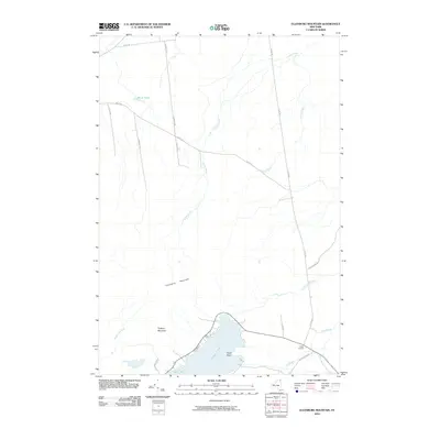
2010 Map of Ellenburg Mountain
USGS Topo · Published 2010About this map
Chazy Lake and the surrounding northern uplands of Adirondack Park dominate this topographic study of Clinton County. The landscape is defined by the prominent peaks of Ellenburg Mountain and Topknot Mountain, which shed water into a complex network of drainages including Graves Brook and Spring Brook. At the southern edge, the shoreline of the lake features Eagle Point and Seine Bay, where seasonal and permanent residences congregate near the intersection of Plank Rd and Wilfred King Rd.
Find a feature on this map
24 named features on this map. Tap any name to fly to it.
Don’t see what you’re looking for? This feature index may not catch every label — zoom into the map to look around manually.
Map Details
Editions of this 2010 Ellenburg Mountain Map
This is the sole edition of this map. No revisions or reprints were ever made.
Other maps of this area

1895 · Mooers
USGS Topo · 1:62,500

1899 · Mooers
USGS Topo · 1:62,500

1911 · Lyon Mountain
USGS Topo · 1:62,500

1913 · Dannemora
USGS Topo · 1:62,500

1913 · Lyon Mountain
USGS Topo · 1:62,500

1915 · Churubusco
USGS Topo · 1:62,500

1931 · Lyon Mountain
USGS Topo · 1:62,500

1942 · Mooers
USGS Topo · 1:62,500

1943 · Churubusco
USGS Topo · 1:62,500

1943 · Mooers
USGS Topo · 1:62,500