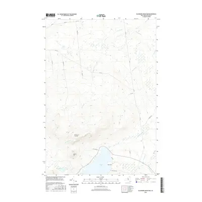
2016 Map of Ellenburg Mountain
USGS Topo · Published 2016About this map
Chazy Lake dominates the southern landscape of this Clinton County region, its shoreline marked by Eagle Point and the quiet waters of Seine Bay. The terrain rises sharply to the north, defined by the prominent heights of Ellenburg Mountain and the adjacent Topknot Mtn. This topographic survey illustrates a land shaped by its hydrology, where numerous waterways including Bradley Brook and Ouleout Cr drain the high slopes. To the southeast, the Great Chazy River and King Brook wind through the lower elevations. The road network, including Sharrett Rd, Trombley Rd, and Alder Bend Rd, follows the natural contours of the mountain passes and lakefront, providing a clear record of the rural infrastructure and land divisions in this part of the Adirondack foothills.
Find a feature on this map
30 named features on this map. Tap any name to fly to it.
Don’t see what you’re looking for? This feature index may not catch every label — zoom into the map to look around manually.
Map Details
Editions of this 2016 Ellenburg Mountain Map
This is the sole edition of this map. No revisions or reprints were ever made.
Other maps of this area

1895 · Mooers
USGS Topo · 1:62,500

1899 · Mooers
USGS Topo · 1:62,500

1911 · Lyon Mountain
USGS Topo · 1:62,500

1913 · Dannemora
USGS Topo · 1:62,500

1913 · Lyon Mountain
USGS Topo · 1:62,500

1915 · Churubusco
USGS Topo · 1:62,500

1931 · Lyon Mountain
USGS Topo · 1:62,500

1942 · Mooers
USGS Topo · 1:62,500

1943 · Churubusco
USGS Topo · 1:62,500

1943 · Mooers
USGS Topo · 1:62,500