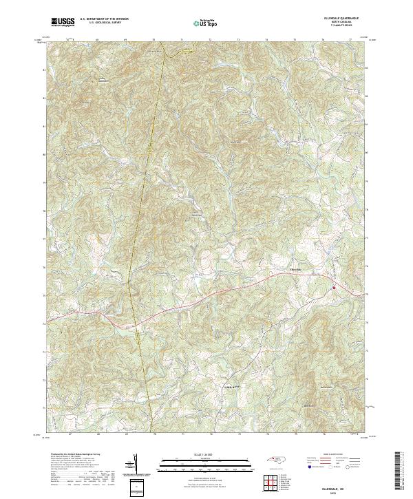
2022 Map of Ellendale
USGS Topo · Published 2022About this map
The Brushy Mountains define the northern horizon of this landscape where Wilkes and Caldwell counties meet Alexander. At the heart of the region, the settlement of Ellendale sits near the confluence of several vital waterways, including Beaver Br and the Middle Little River. The terrain is characterized by a series of prominent peaks such as Hickory Knob, Never Mtn, and Barrett Mtn, which create a complex drainage system fed by Lambert Fork and Duck Cr.
Find a feature on this map
108 named features on this map. Tap any name to fly to it.
Don’t see what you’re looking for? This feature index may not catch every label — zoom into the map to look around manually.
Map Details
Editions of this 2022 Ellendale Map
This is the sole edition of this map. No revisions or reprints were ever made.
Other maps of this area

1889 · Wilkesboro
USGS Topo · 1:125,000

1891 · Wilkesboro
USGS Topo · 1:125,000

1895 · Hickory
USGS Topo · 1:125,000

1953 · Charlotte
USGS Topo · 1:250,000

1953 · Winston-Salem
USGS Topo · 1:250,000

1954 · Charlotte
USGS Topo · 1:250,000

1955 · Winston-Salem
USGS Topo · 1:250,000

1960 · Charlotte
USGS Topo · 1:250,000

1962 · Winston-Salem
USGS Topo · 1:250,000

1962 · Charlotte
USGS Topo · 1:250,000