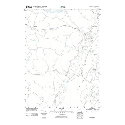
2010 Map of Ellenville
USGS Topo · Published 2010About this map
Ellenville and the surrounding valley floor are defined by a complex network of waterways and the legacy of nineteenth-century infrastructure. The path of the Delaware and Hudson Canal remains visible, tracing a route south toward Phillipsport and Spring Glen. This corridor follows the natural drainage of the Sandburg Creek and Homowack Kill, situated between the dramatic rise of the Shawangunk Mountains to the east and the high ground of The Cape to the north.
Find a feature on this map
79 named features on this map. Tap any name to fly to it.
Don’t see what you’re looking for? This feature index may not catch every label — zoom into the map to look around manually.
Map Details
Editions of this 2010 Ellenville Map
This is the sole edition of this map. No revisions or reprints were ever made.
Other maps of this area

1903 · Slide Mountain
USGS Topo · 1:62,500

1904 · Ellenville
USGS Topo · 1:62,500

1905 · Slide Mountain
USGS Topo · 1:62,500

1906 · Ellenville
USGS Topo · 1:62,500

1909 · Monticello
USGS Topo · 1:62,500

1910 · Neversink
USGS Topo · 1:62,500

1911 · Monticello
USGS Topo · 1:62,500

1942 · Neversink
USGS Topo · 1:62,500

1942 · Lackawack
USGS Topo · 1:24,000

1942 · Kerhonkson
USGS Topo · 1:24,000