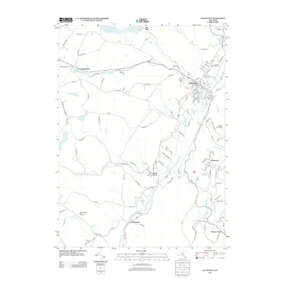
2013 Map of Ellenville
USGS Topo · Published 2013About this map
Ellenville serves as the primary population center in this region of Sullivan County, situated where the Sandburg Cr and Fantine Kill converge. The landscape is defined by the steep elevation changes of the Shawangunk Ridge, where landmarks like Bear Hill, Mount Meenahga, and Cragsmoor overlook the valley floor. Historically, this valley was a critical transportation corridor, evidenced by the path of the Delaware and Hudson Canal, which parallels the modern highway between Spring Glen and Phillipsport.
Find a feature on this map
153 named features on this map. Tap any name to fly to it.
Don’t see what you’re looking for? This feature index may not catch every label — zoom into the map to look around manually.
Map Details
Editions of this 2013 Ellenville Map
This is the sole edition of this map. No revisions or reprints were ever made.
Other maps of this area

1903 · Slide Mountain
USGS Topo · 1:62,500

1904 · Ellenville
USGS Topo · 1:62,500

1905 · Slide Mountain
USGS Topo · 1:62,500

1906 · Ellenville
USGS Topo · 1:62,500

1909 · Monticello
USGS Topo · 1:62,500

1910 · Neversink
USGS Topo · 1:62,500

1911 · Monticello
USGS Topo · 1:62,500

1942 · Neversink
USGS Topo · 1:62,500

1942 · Lackawack
USGS Topo · 1:24,000

1942 · Kerhonkson
USGS Topo · 1:24,000