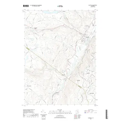
2019 Map of Ellenville
USGS Topo · Published 2019About this map
Shawangunk Mountains rise sharply in the southeast, dominating this landscape where the Delaware and Hudson Canal once dictated the flow of trade and travel. The village of Ellenville serves as the primary hub, situated near the confluence of Sandburg Creek and Fantine Kill. Local history is preserved in the placement of the Fantinekill Cem and the Joseph Y Resnick Airport on the village outskirts, while smaller settlements like Spring Glen, Phillipsport, and Cragsmoor trace the valley floor and ridge lines.
Find a feature on this map
131 named features on this map. Tap any name to fly to it.
Don’t see what you’re looking for? This feature index may not catch every label — zoom into the map to look around manually.
Map Details
Editions of this 2019 Ellenville Map
This is the sole edition of this map. No revisions or reprints were ever made.
Other maps of this area

1903 · Slide Mountain
USGS Topo · 1:62,500

1904 · Ellenville
USGS Topo · 1:62,500

1905 · Slide Mountain
USGS Topo · 1:62,500

1906 · Ellenville
USGS Topo · 1:62,500

1909 · Monticello
USGS Topo · 1:62,500

1910 · Neversink
USGS Topo · 1:62,500

1911 · Monticello
USGS Topo · 1:62,500

1942 · Neversink
USGS Topo · 1:62,500

1942 · Lackawack
USGS Topo · 1:24,000

1942 · Kerhonkson
USGS Topo · 1:24,000