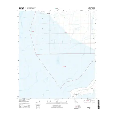
2015 Map of Ellerslie
USGS Topo · Published 2015About this map
The low-lying coastal marshes of St. Mary Parish are defined by an intricate network of natural bayous and industrial water management projects. South Bend and Ellerslie anchor the southeastern corner of the map, situated along the banks of Bayou Sale and the route of La-317. This area serves as a transition between the inland waterways and the open waters of West Cote Blanche Bay and the Gulf of Mexico. The landscape is heavily altered by man-made navigation and drainage features, including the Intracoastal Waterway, the British-American Canal, and Williams Storage Canal. These waterways cut through the wetland landscape, bypassing natural features like Cow Island Bayou and Black Creek Bayou. To the north, Upper Island and Lower Island sit near the edge of Jaws Bay, while the interior marshes are dotted with features such as Fresh Water Lake and the winding Rice Bayou.
Find a feature on this map
36 named features on this map. Tap any name to fly to it.
Don’t see what you’re looking for? This feature index may not catch every label — zoom into the map to look around manually.
Map Details
Editions of this 2015 Ellerslie Map
This is the sole edition of this map. No revisions or reprints were ever made.
Other maps of this area
1935 · Belle Isle
USGS Topo · 1:31,680
1937 · Bayou Sale
USGS Topo · 1:62,500
1937 · Jeanerette
USGS Topo · 1:62,500
1941 · Belle Isle
USGS Topo · 1:62,500
1945 · New Orleans
USGS Topo · 1:250,000
1948 · Foster
USGS Topo · 1:62,500
1951 · Lake Point
USGS Topo · 1:24,000
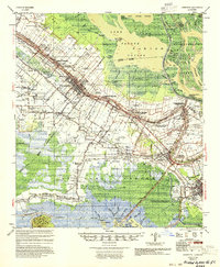
1954 · Jeanerette
USGS Topo · 1:62,500
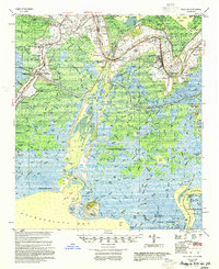
1954 · Belle Isle
USGS Topo · 1:62,500
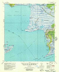
1957 · Bayou Sale
USGS Topo · 1:62,500