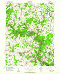
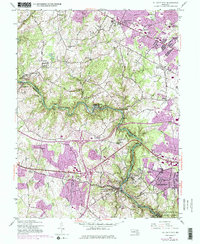
1953 Map of Ellicott City
USGS Topo · Published 1962About this map
Ellicott City sits at the heart of this mid-century topographic study, showing the steep-sloped river town before modern suburban expansion fully bridged the gap between Catonsville and the Patapsco River. The industrial and institutional character of the valley is evident through Daniels and Oella, while the sprawling grounds of Woodstock College and the Little Flower Sch mark the ridges to the west.
Find a feature on this map
64 named features on this map. Tap any name to fly to it.
Don’t see what you’re looking for? This feature index may not catch every label — zoom into the map to look around manually.
Map Details
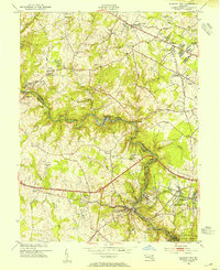
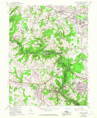
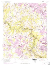
Editions of this 1953 Ellicott City Map
5 editions found
Other maps of this area

1892 · Laurel
USGS Topo · 1:62,500

1892 · Ellicott
USGS Topo · 1:62,500

1894 · Ellicott
USGS Topo · 1:62,500

1894 · Laurel
USGS Topo · 1:62,500

1894 · Baltimore
USGS Topo · 1:62,500

1894 · Relay
USGS Topo · 1:62,500

1897 · Laurel
USGS Topo · 1:62,500

1899 · Baltimore
USGS Topo · 1:62,500

1904 · Baltimore
USGS Topo · 1:62,500

1906 · Ellicott
USGS Topo · 1:62,500