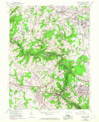
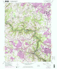
1953 Map of Ellicott City
USGS Topo · Published 1967About this map
Ellicott City and the winding Patapsco River corridor dominate this mid-century landscape on the border of Baltimore and Howard Counties. The map reflects a period of transition, where established residential hubs like Catonsville and Randallstown sit near sprawling institutional grounds and industrial corridors. Notable landmarks include the Woodstock College campus and the riverside industrial site at Daniels, while the Baltimore and Ohio Railroad traces the river’s tight bends through Patapsco State Park.
Find a feature on this map
61 named features on this map. Tap any name to fly to it.
Don’t see what you’re looking for? This feature index may not catch every label — zoom into the map to look around manually.
Map Details
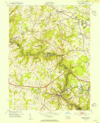
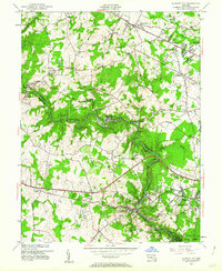
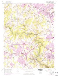
Editions of this 1953 Ellicott City Map
5 editions found
Other maps of this area

1892 · Laurel
USGS Topo · 1:62,500

1892 · Ellicott
USGS Topo · 1:62,500

1894 · Ellicott
USGS Topo · 1:62,500

1894 · Laurel
USGS Topo · 1:62,500

1894 · Baltimore
USGS Topo · 1:62,500

1894 · Relay
USGS Topo · 1:62,500

1897 · Laurel
USGS Topo · 1:62,500

1899 · Baltimore
USGS Topo · 1:62,500

1904 · Baltimore
USGS Topo · 1:62,500

1906 · Ellicott
USGS Topo · 1:62,500