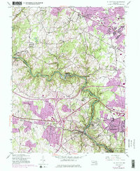
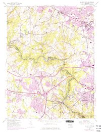
1953 Map of Ellicott City
USGS Topo · Published 1976About this map
Ellicott City anchors this 1953 survey, illustrating the historic core and evolving suburbs along the Baltimore Co Howard Co line. The Patapsco River serves as the dominant geographic and industrial axis, with the Baltimore and Ohio railroad tracking its winding path past mill-focused settlements like Daniels, Oella, and Ilchester. The topography is defined by the steep river valley and upland communities connected by the National Pike and Frederick Road.
Find a feature on this map
57 named features on this map. Tap any name to fly to it.
Don’t see what you’re looking for? This feature index may not catch every label — zoom into the map to look around manually.
Map Details
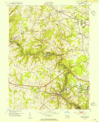
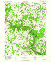
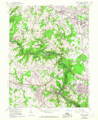
Editions of this 1953 Ellicott City Map
5 editions found
Other maps of this area

1892 · Laurel
USGS Topo · 1:62,500

1892 · Ellicott
USGS Topo · 1:62,500

1894 · Ellicott
USGS Topo · 1:62,500

1894 · Laurel
USGS Topo · 1:62,500

1894 · Baltimore
USGS Topo · 1:62,500

1894 · Relay
USGS Topo · 1:62,500

1897 · Laurel
USGS Topo · 1:62,500

1899 · Baltimore
USGS Topo · 1:62,500

1904 · Baltimore
USGS Topo · 1:62,500

1906 · Ellicott
USGS Topo · 1:62,500