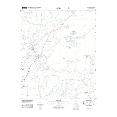
2011 Map of Ellijay
USGS Topo · Published 2011About this map
The confluence of the Cartecay River and the Ellijay River forms the Coosawattee River right at the heart of this North Georgia mountain region. This geography defines the twin settlements of Ellijay and East Ellijay, which serve as the primary hubs of activity. The surrounding landscape is heavily defined by small-scale water management, evidenced by numerous named reservoirs like Logan Lake, Little Turniptown Creek Lake, and Dakwa Lake.
Find a feature on this map
88 named features on this map. Tap any name to fly to it.
Don’t see what you’re looking for? This feature index may not catch every label — zoom into the map to look around manually.
Map Details
Editions of this 2011 Ellijay Map
This is the sole edition of this map. No revisions or reprints were ever made.
Other maps of this area

1886 · Dalton
USGS Topo · 1:125,000

1888 · Ellijay
USGS Topo · 1:125,000

1892 · Ellijay
USGS Topo · 1:125,000

1892 · Dalton
USGS Topo · 1:125,000

1897 · Dalton
USGS Topo · 1:125,000

1898 · Ellijay
USGS Topo · 1:125,000

1911 · Ellijay
USGS Topo · 1:125,000

1911 · Cohutta Mtn
USGS Topo · 1:62,500

1913 · Cohutta Mtn.
USGS Topo · 1:62,500

1914 · Talking Rock
USGS Topo · 1:62,500