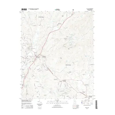
2014 Map of Ellijay
USGS Topo · Published 2014About this map
The confluence of the Ellijay River and the Cartecay River forms the Coosawattee River at the heart of this North Georgia mountain landscape, marking the historic center of Ellijay and East Ellijay. These settlements serve as the gateway to the Chattahoochee National Forest, which blankets the high ridges to the north and east. The map detail reflects a deeply established community, evidenced by numerous small cemeteries such as Northcutt Cem and Jarrett Cem, alongside foundational country churches like Turniptown Baptist Church and Mt Zion Baptist Church.
Find a feature on this map
152 named features on this map. Tap any name to fly to it.
Don’t see what you’re looking for? This feature index may not catch every label — zoom into the map to look around manually.
Map Details
Editions of this 2014 Ellijay Map
This is the sole edition of this map. No revisions or reprints were ever made.
Other maps of this area

1886 · Dalton
USGS Topo · 1:125,000

1888 · Ellijay
USGS Topo · 1:125,000

1892 · Ellijay
USGS Topo · 1:125,000

1892 · Dalton
USGS Topo · 1:125,000

1897 · Dalton
USGS Topo · 1:125,000

1898 · Ellijay
USGS Topo · 1:125,000

1911 · Ellijay
USGS Topo · 1:125,000

1911 · Cohutta Mtn
USGS Topo · 1:62,500

1913 · Cohutta Mtn.
USGS Topo · 1:62,500

1914 · Talking Rock
USGS Topo · 1:62,500