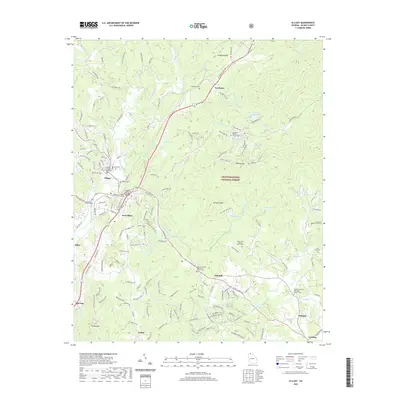
2020 Map of Ellijay
USGS Topo · Published 2020About this map
The Coosawattee River forms at the convergence of the Ellijay River and the Cartecay River in the heart of Ellijay. This 2020 survey documents the modern layout of the Gilmer County Courthouse and surrounding civic landmarks, including the Library and the historic Charles Soule Bridge. The landscape transitions from the urban core of East Ellijay into the protected elevations of the Chattahoochee National Forest to the east. Several local cemeteries and rural congregations, such as Turniptown Baptist Church Cem and Oak Hill United Methodist Church Cem, provide significant points of interest for genealogical research in these North Georgia communities. The network of local ridges, including Kells Ridge and Leading Ridge, dictates the winding paths of roads like Boardtown Rd and Tails Creek Rd, illustrating the persistent influence of the Appalachian terrain on regional development.
Find a feature on this map
148 named features on this map. Tap any name to fly to it.
Don’t see what you’re looking for? This feature index may not catch every label — zoom into the map to look around manually.
Map Details
Editions of this 2020 Ellijay Map
This is the sole edition of this map. No revisions or reprints were ever made.
Other maps of this area

1886 · Dalton
USGS Topo · 1:125,000

1888 · Ellijay
USGS Topo · 1:125,000

1892 · Ellijay
USGS Topo · 1:125,000

1892 · Dalton
USGS Topo · 1:125,000

1897 · Dalton
USGS Topo · 1:125,000

1898 · Ellijay
USGS Topo · 1:125,000

1911 · Ellijay
USGS Topo · 1:125,000

1911 · Cohutta Mtn
USGS Topo · 1:62,500

1913 · Cohutta Mtn.
USGS Topo · 1:62,500

1914 · Talking Rock
USGS Topo · 1:62,500