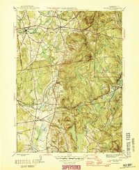
1946 Map of Ellington
USGS Topo · Published 1946About this map
Somersville and Ellington anchor this mid-century portrait of Tolland County, showing a landscape defined by the drainage of the Scantic River and the industrial infrastructure of the New York New Haven And Hartford railroad. The map documents several rural schools, including Jobs Hill Sch and Cogswell Sch, which served the outlying farmstead communities of Hydes and Beldings. Notable cultural landmarks like the Khasis Israel Synagogue and the Swiss Apostolic Ch reflect the area's diverse demographic heritage.
Find a feature on this map
46 named features on this map. Tap any name to fly to it.
Don’t see what you’re looking for? This feature index may not catch every label — zoom into the map to look around manually.
Map Details
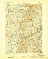
Editions of this 1946 Ellington Map
2 editions found
Other maps of this area

1886 · Springfield
USGS Topo · 1:62,500

1887 · Palmer
USGS Topo · 1:62,500

1889 · Springfield
USGS Topo · 1:62,500

1889 · Palmer
USGS Topo · 1:62,500

1892 · Hartford
USGS Topo · 1:62,500

1892 · Tolland
USGS Topo · 1:62,500

1893 · Springfield
USGS Topo · 1:62,500

1893 · Palmer
USGS Topo · 1:62,500

1895 · Springfield
USGS Topo · 1:62,500

1896 · Holyoke
USGS Topo · 1:125,000