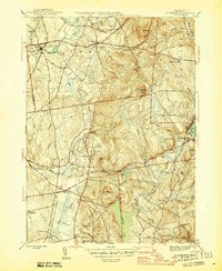
1946 Map of Ellington
USGS Topo · Published 1946About this map
Somersville and Somers anchor the northern landscape of this Tolland County survey, where the Scantic River feeds into the Mill Pond to power early industrial development. The region is characterized by a balance of upland terrain, such as Soapstone Mtn and Bald Mtn, and the prominent water bodies of Shenipsit Lake and Crystal Lake. The New York New Haven and Hartford railroad cuts through the southwestern corner, serving the village of Ellington and connecting the agricultural lowlands to larger commercial hubs.
Find a feature on this map
58 named features on this map. Tap any name to fly to it.
Don’t see what you’re looking for? This feature index may not catch every label — zoom into the map to look around manually.
Map Details
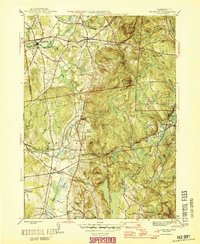
Editions of this 1946 Ellington Map
2 editions found
Other maps of this area

1886 · Springfield
USGS Topo · 1:62,500

1887 · Palmer
USGS Topo · 1:62,500

1889 · Springfield
USGS Topo · 1:62,500

1889 · Palmer
USGS Topo · 1:62,500

1892 · Hartford
USGS Topo · 1:62,500

1892 · Tolland
USGS Topo · 1:62,500

1893 · Springfield
USGS Topo · 1:62,500

1893 · Palmer
USGS Topo · 1:62,500

1895 · Springfield
USGS Topo · 1:62,500

1896 · Holyoke
USGS Topo · 1:125,000