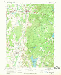
1967 Map of Ellington
USGS Topo · Published 1969About this map
Shenipsit State Forest dominates the eastern highlands of this Tolland County landscape, where the terrain rises sharply to Soapstone Mtn and its Lookout Tower. The lowlands to the west are defined by the winding course of the Scantic River and the rural centers of Somersville, Somers, and Ellington. The area reflects a mid-century transition from traditional agriculture to a more recreational and residential character, evidenced by the presence of a Golf Course and the developed shorelines of Crystal Lake and Lake Bonair. Local infrastructure is well-documented, featuring several schools like Avery Sch and Center Sch, along with an Ellington Airport and an Old Railroad Grade that speaks to the region's earlier transportation network. For genealogists, several burial grounds including North Cem and West Cem provide specific points of interest across the townships.
Find a feature on this map
90 named features on this map. Tap any name to fly to it.
Don’t see what you’re looking for? This feature index may not catch every label — zoom into the map to look around manually.
Map Details
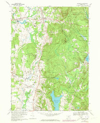
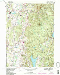
Editions of this 1967 Ellington Map
3 editions found
Other maps of this area

1886 · Springfield
USGS Topo · 1:62,500

1887 · Palmer
USGS Topo · 1:62,500

1889 · Springfield
USGS Topo · 1:62,500

1889 · Palmer
USGS Topo · 1:62,500

1892 · Hartford
USGS Topo · 1:62,500

1892 · Tolland
USGS Topo · 1:62,500

1893 · Springfield
USGS Topo · 1:62,500

1893 · Palmer
USGS Topo · 1:62,500

1895 · Springfield
USGS Topo · 1:62,500

1896 · Holyoke
USGS Topo · 1:125,000