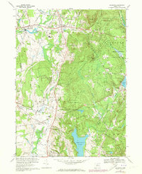
1967 Map of Ellington
USGS Topo · Published 1973About this map
The Shenipsit State Forest dominates the eastern hills of this landscape, creating a wooded expanse that overlooks the developed valley floor. Scattered rural settlements like Ellington and Somersville are anchored by civic institutions, including the Somers High Sch, Avery Sch, and Center Sch, reflecting the community growth of the late 1960s. The presence of several family and community burial grounds, such as New West Cem, West Cem, and North Cem, provides essential points of interest for genealogical research in this part of Tolland County.
Find a feature on this map
43 named features on this map. Tap any name to fly to it.
Don’t see what you’re looking for? This feature index may not catch every label — zoom into the map to look around manually.
Map Details
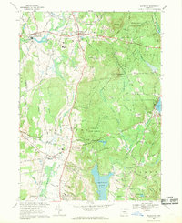
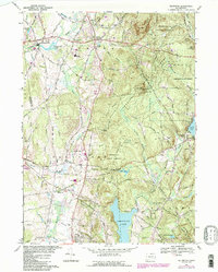
Editions of this 1967 Ellington Map
3 editions found
Other maps of this area

1886 · Springfield
USGS Topo · 1:62,500

1887 · Palmer
USGS Topo · 1:62,500

1889 · Springfield
USGS Topo · 1:62,500

1889 · Palmer
USGS Topo · 1:62,500

1892 · Hartford
USGS Topo · 1:62,500

1892 · Tolland
USGS Topo · 1:62,500

1893 · Springfield
USGS Topo · 1:62,500

1893 · Palmer
USGS Topo · 1:62,500

1895 · Springfield
USGS Topo · 1:62,500

1896 · Holyoke
USGS Topo · 1:125,000