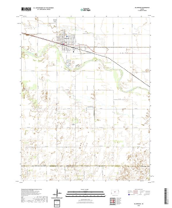
2022 Map of Ellinwood
USGS Topo · Published 2022About this map
Ellinwood serves as the central hub of this Kansas landscape, positioned along the historic transport corridor defined by W Santa Fe Blvd and E Santa Fe Blvd. The town's grid is remarkably precise, bordered to the south by the meandering course of the Arkansas River. Just southeast of the town center lies the Lakin-Comanche Cem, a significant site for local genealogical research. The northern reaches are serviced by the Ellinwood Municipal Airport, while the surrounding terrain is strictly organized by a network of county roads including E Barton Co Rd and Co Line Rd. This map illustrates the intersection of mid-century agricultural land divisions with the infrastructure of modern aviation and regional travel, capturing the enduring layout of this Barton County community.
Find a feature on this map
37 named features on this map. Tap any name to fly to it.
Don’t see what you’re looking for? This feature index may not catch every label — zoom into the map to look around manually.
Map Details
Editions of this 2022 Ellinwood Map
This is the sole edition of this map. No revisions or reprints were ever made.
Other maps of this area

1891 · Great Bend
USGS Topo · 1:125,000

1893 · Great Bend
USGS Topo · 1:125,000

1894 · Lyons
USGS Topo · 1:125,000

1955 · Great Bend
USGS Topo · 1:250,000

1956 · Ellinwood NE
USGS Topo · 1:24,000

1956 · Ellinwood NW
USGS Topo · 1:24,000

1957 · Great Bend
USGS Topo · 1:250,000

1957 · Ellinwood SW
USGS Topo · 1:24,000

1957 · Ellinwood
USGS Topo · 1:24,000

1958 · Great Bend
USGS Topo · 1:250,000