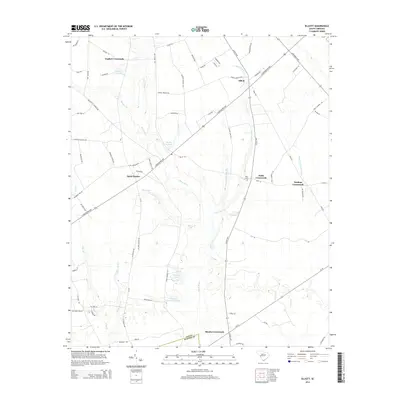
2014 Map of Elliott
USGS Topo · Published 2014About this map
The Black River corridor defines this portion of the coastal plain, carving a path through a landscape of agricultural crossroads and wetlands. In this 2014 survey, the historic settlement patterns of the region are clearly visible, anchored by nodes such as Elliott, Saint Charles, and Rhodes Crossroads. The influence of early 20th-century family landholdings persists in the naming of features like Minnie Deschamps Pond, Mattie Js Pond, and Player Pond, providing valuable geographic markers for genealogical research in this rural pocket.
Find a feature on this map
72 named features on this map. Tap any name to fly to it.
Don’t see what you’re looking for? This feature index may not catch every label — zoom into the map to look around manually.
Map Details
Editions of this 2014 Elliott Map
This is the sole edition of this map. No revisions or reprints were ever made.
Other maps of this area

1920 · Mayesville
USGS Topo · 1:48,000

1921 · Mayesville
USGS Topo · 1:62,500

1941 · Spartanburg
USGS Topo · 1:250,000

1943 · Mayesville
USGS Topo · 1:62,500

1946 · Sumter
USGS Topo · 1:62,500

1953 · Spartanburg
USGS Topo · 1:250,000

1954 · Augusta
USGS Topo · 1:250,000

1957 · Sumter East
USGS Topo · 1:24,000

1957 · Ashwood
USGS Topo · 1:62,500

1957 · Sumter
USGS Topo · 1:62,500
Featured Places
- Rhodes Crossroads, SC
- Saint Charles, SC
- Dunlape Crossroads, SC
- Wells Crossroads, SC
- English Crossroads, SC