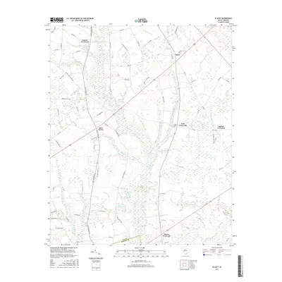
2017 Map of Elliott
USGS Topo · Published 2017About this map
Black River and its intricate network of tributaries, including Stony Run Br and Nancy Br, define the landscape of this portion of Lee and Sumter Counties. The settlement pattern is characterized by several historic intersections, most notably Saint Charles and Elliott, which served as local hubs for the surrounding agricultural community. The map reveals numerous family-named landmarks and water bodies, such as Minnie Deschamps Pond and Mattie Js Pond, which often indicate long-standing land ownership and historical property boundaries.
Find a feature on this map
76 named features on this map. Tap any name to fly to it.
Don’t see what you’re looking for? This feature index may not catch every label — zoom into the map to look around manually.
Map Details
Editions of this 2017 Elliott Map
This is the sole edition of this map. No revisions or reprints were ever made.
Other maps of this area
1920 · Mayesville
USGS Topo · 1:48,000
1921 · Mayesville
USGS Topo · 1:62,500
1941 · Spartanburg
USGS Topo · 1:250,000
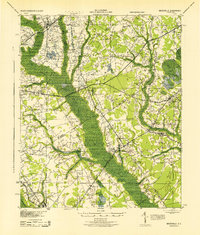
1943 · Mayesville
USGS Topo · 1:62,500
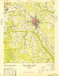
1946 · Sumter
USGS Topo · 1:62,500
1953 · Spartanburg
USGS Topo · 1:250,000
1954 · Augusta
USGS Topo · 1:250,000
1957 · Sumter East
USGS Topo · 1:24,000
1957 · Ashwood
USGS Topo · 1:62,500
1957 · Sumter
USGS Topo · 1:62,500
Featured Places
- Rhodes Crossroads, SC
- Saint Charles, SC
- Dunlape Crossroads, SC
- Wells Crossroads, SC
- English Crossroads, SC