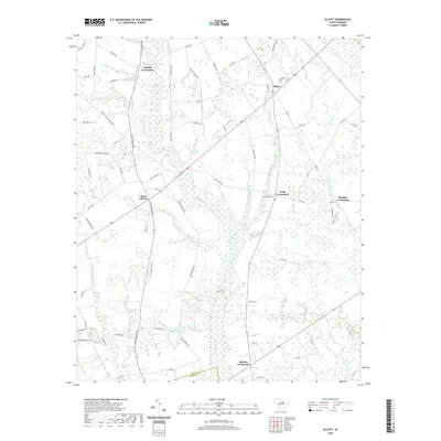
2020 Map of Elliott
USGS Topo · Published 2020About this map
The Black River winds through this section of the South Carolina coastal plain, defining a landscape of wetlands and interconnected agricultural crossroads. Central to the area is the settlement of Saint Charles, situated near the confluence of Nancy Br and the river's main channel. The map illustrates a distinct pattern of rural development where community life is anchored at junctions like English Crossroads and Rhodes Crossroads.
Find a feature on this map
77 named features on this map. Tap any name to fly to it.
Don’t see what you’re looking for? This feature index may not catch every label — zoom into the map to look around manually.
Map Details
Editions of this 2020 Elliott Map
This is the sole edition of this map. No revisions or reprints were ever made.
Other maps of this area

1920 · Mayesville
USGS Topo · 1:48,000

1921 · Mayesville
USGS Topo · 1:62,500

1941 · Spartanburg
USGS Topo · 1:250,000

1943 · Mayesville
USGS Topo · 1:62,500

1946 · Sumter
USGS Topo · 1:62,500

1953 · Spartanburg
USGS Topo · 1:250,000

1954 · Augusta
USGS Topo · 1:250,000

1957 · Sumter East
USGS Topo · 1:24,000

1957 · Ashwood
USGS Topo · 1:62,500

1957 · Sumter
USGS Topo · 1:62,500
Featured Places
- Rhodes Crossroads, SC
- Saint Charles, SC
- Dunlape Crossroads, SC
- Wells Crossroads, SC
- English Crossroads, SC