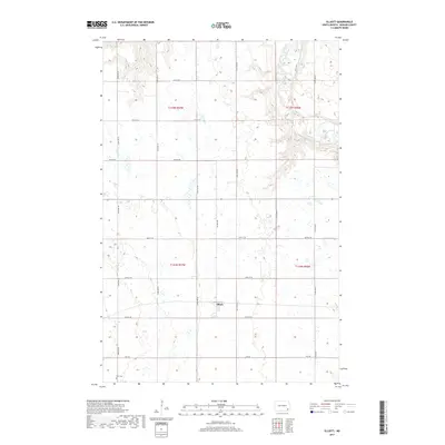
2017 Map of Elliott
USGS Topo · Published 2017About this map
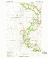
The small settlement of Elliott serves as the central point of this prairie landscape in Ransom County. The terrain is defined by the winding course of the Sheyenne River, which cuts through the northeastern corner of the map, creating a distinct break in the otherwise orderly grid of section lines and gravel roads. This 2017 survey reflects the enduring agricultural character of the region, where roads like Elliott Rd and Valley Rd connect isolated homesteads and farms. In the southwestern corner, the Dick Cem stands as a significant marker for local genealogists and historians tracing the early families of this township. The map provides a clear look at the drainage patterns and wetlands that dot the fields, highlighting the seasonal water management essential to North Dakota farming.
Find a feature on this map
22 named features on this map. Tap any name to fly to it.
Don’t see what you’re looking for? This feature index may not catch every label — zoom into the map to look around manually.
Map Details
Editions of this 2017 Elliott Map
This is the sole edition of this map. No revisions or reprints were ever made.
Other maps of this area
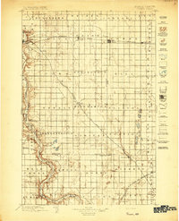
1897 · Tower
USGS Topo · 1:125,000

1953 · Fargo
USGS Topo · 1:250,000

1956 · Fargo
USGS Topo · 1:250,000
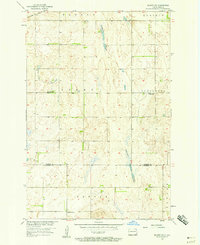
1957 · Elliott SW
USGS Topo · 1:24,000
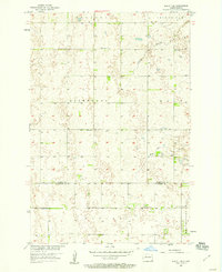
1957 · Elliott SE
USGS Topo · 1:24,000
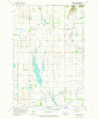
1962 · Englevale
USGS Topo · 1:24,000
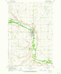
1962 · Lisbon
USGS Topo · 1:24,000
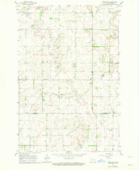
1962 · Lisbon SW
USGS Topo · 1:24,000
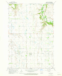
1962 · Elliott
USGS Topo · 1:24,000
1967 · Ft. Ransom
USGS Topo · 1:24,000