
1962 Map of Elliott
USGS Topo · Published 1964About this map
Elliott serves as the primary rail-centered settlement in this Ransom County survey, positioned along the Northern Pacific line as it cuts through the prairie. The landscape is defined by the winding course of the Sheyenne River in the northeast, where the terrain breaks into wooded bluffs and draws. This contrast between the flat upland townships of Springer and Elliott and the deep river valley highlights the agricultural and geographic split of the region.
Find a feature on this map
13 named features on this map. Tap any name to fly to it.
Don’t see what you’re looking for? This feature index may not catch every label — zoom into the map to look around manually.
Map Details
Editions of this 1962 Elliott Map
This is the sole edition of this map. No revisions or reprints were ever made.
Other maps of this area

1897 · Tower
USGS Topo · 1:125,000

1953 · Fargo
USGS Topo · 1:250,000

1956 · Fargo
USGS Topo · 1:250,000

1957 · Elliott SW
USGS Topo · 1:24,000

1957 · Elliott SE
USGS Topo · 1:24,000
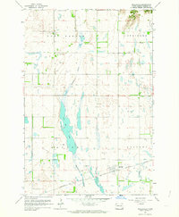
1962 · Englevale
USGS Topo · 1:24,000

1962 · Lisbon
USGS Topo · 1:24,000

1962 · Lisbon SW
USGS Topo · 1:24,000

1967 · Ft. Ransom
USGS Topo · 1:24,000
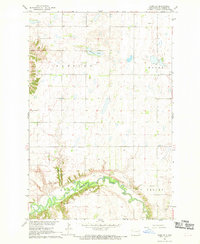
1967 · Nome SE
USGS Topo · 1:24,000