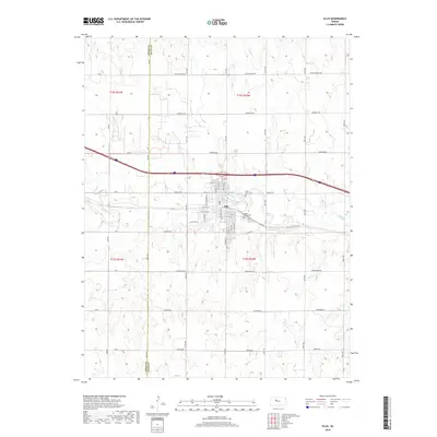
2018 Map of Ellis
USGS Topo · Published 2018About this map
Ellis serves as the central hub of this High Plains landscape, where the meandering course of Big Creek and Spring Cr dictates the local topography. The map illustrates a transition from the structured grid of the town site to the expansive agricultural and grazing lands of the surrounding prairie. This area is defined by its historical transportation corridors, including the path of Old Hwy 40 and a dense network of section-line roads like Emmeram Rd and Hopewell Rd. Local genealogy and community history are anchored by landmarks such as Mount Hope Cem and Saint Mary's Cem. The inclusion of Airbase Rd and Fairground Rd indicates the specialized land use typical of rural Kansas county seats and their outskirts, providing a clear view of the regional infrastructure as it existed in 2018.
Find a feature on this map
32 named features on this map. Tap any name to fly to it.
Don’t see what you’re looking for? This feature index may not catch every label — zoom into the map to look around manually.
Map Details
Editions of this 2018 Ellis Map
This is the sole edition of this map. No revisions or reprints were ever made.
Other maps of this area

1893 · Ellis
USGS Topo · 1:125,000

1893 · Hill
USGS Topo · 1:125,000

1896 · Hays
USGS Topo · 1:125,000

1896 · Plainville
USGS Topo · 1:125,000

1955 · Great Bend
USGS Topo · 1:250,000

1955 · Beloit
USGS Topo · 1:250,000

1957 · Great Bend
USGS Topo · 1:250,000

1958 · Great Bend
USGS Topo · 1:250,000

1959 · Beloit
USGS Topo · 1:250,000

1961 · Yocemento
USGS Topo · 1:24,000