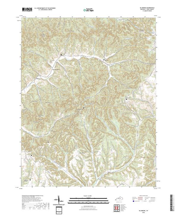
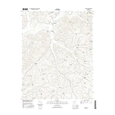
2022 Map of Ellisburg
USGS Topo · Published 2022About this map
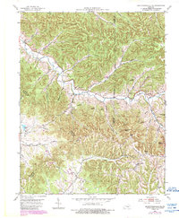
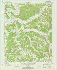
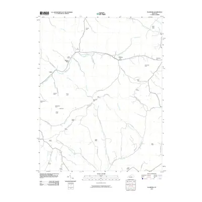
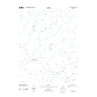
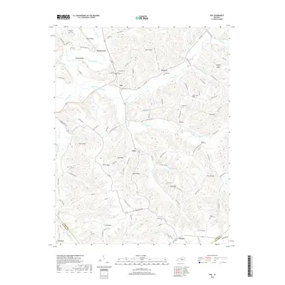
The Big South Fork and Little South Fork wind through a complex landscape of ridges and gaps in this portion of Casey County. Central to the area is Ellisburg, situated at the confluence of several branches including Hafley Branch Rd and Ellis Br. To the west, the settlement of Peytons Store serves as a local landmark near the Cox Graveyard, illustrating the long-standing family ties and small-scale community nodes typical of the region.
Find a feature on this map
92 named features on this map. Tap any name to fly to it.
Don’t see what you’re looking for? This feature index may not catch every label — zoom into the map to look around manually.
Map Details
Editions of this 2022 Ellisburg Map
This is the sole edition of this map. No revisions or reprints were ever made.
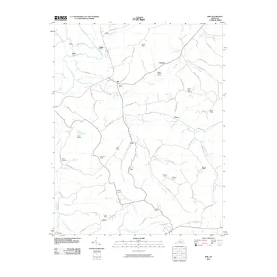
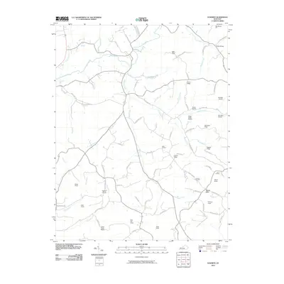
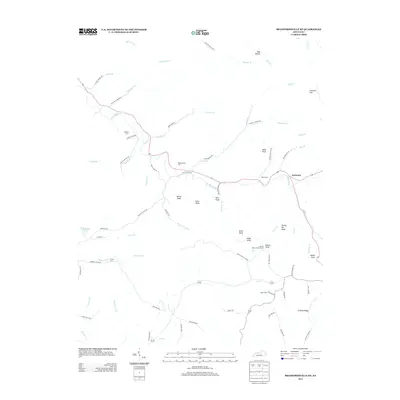
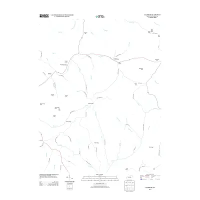
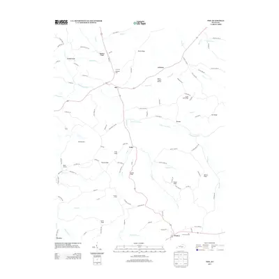
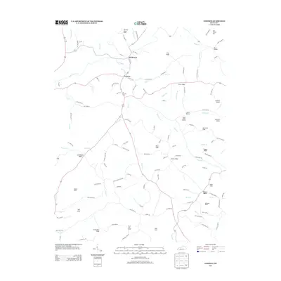
Historical Maps of Peytons Store Through Time
30 maps found
1952 Clementsville
Casey County, KY
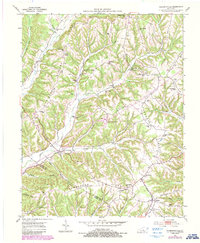
1952 Ellisburg
Casey County, KY
1952 Yosemite
Casey County, KY
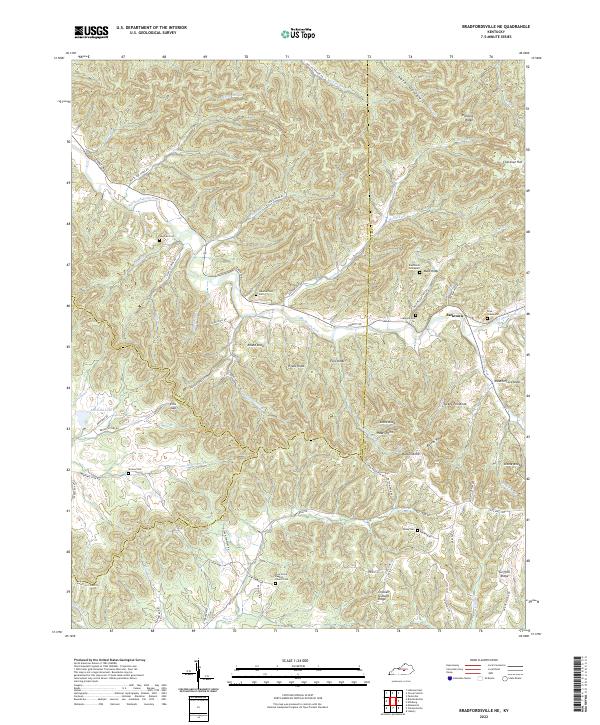
1953 Bradfordsville NE
Casey County, KY
1953 Phil
Casey County, KY
2010 Bradfordsville NE
Casey County, KY
2010 Clementsville
Casey County, KY
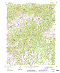
2010 Ellisburg
Casey County, KY
2010 Phil
Casey County, KY
2010 Yosemite
Casey County, KY
2013 Bradfordsville NE
Casey County, KY
2013 Clementsville
Casey County, KY
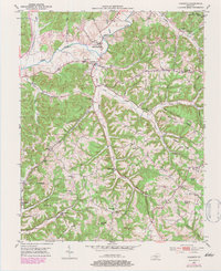
2013 Ellisburg
Casey County, KY
2013 Phil
Casey County, KY
2013 Yosemite
Casey County, KY
2016 Bradfordsville NE
Casey County, KY
2016 Clementsville
Casey County, KY
2016 Ellisburg
Casey County, KY
2016 Phil
Casey County, KY
2016 Yosemite
Casey County, KY
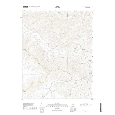
2019 Bradfordsville NE
Casey County, KY
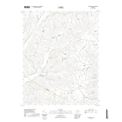
2019 Clementsville
Casey County, KY
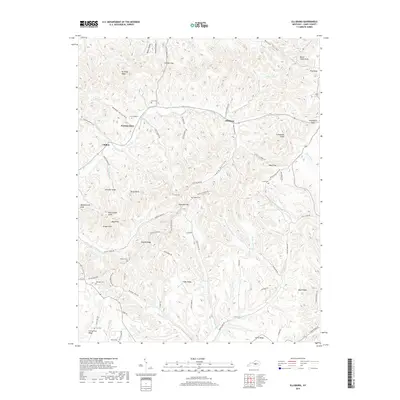
2019 Ellisburg
Casey County, KY
2019 Phil
Casey County, KY
2019 Yosemite
Casey County, KY
2022 Bradfordsville NE
Casey County, KY
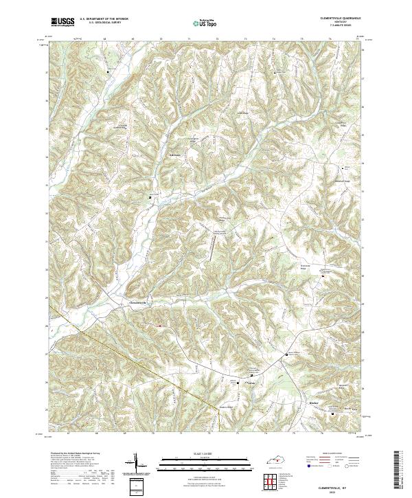
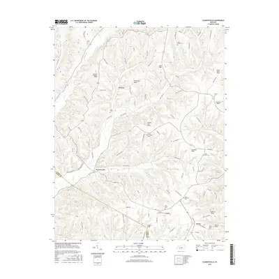
2022 Clementsville
Casey County, KY
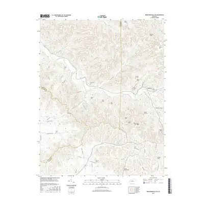
2022 Ellisburg
Casey County, KY
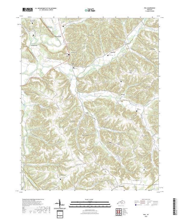
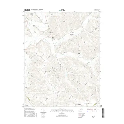
2022 Phil
Casey County, KY
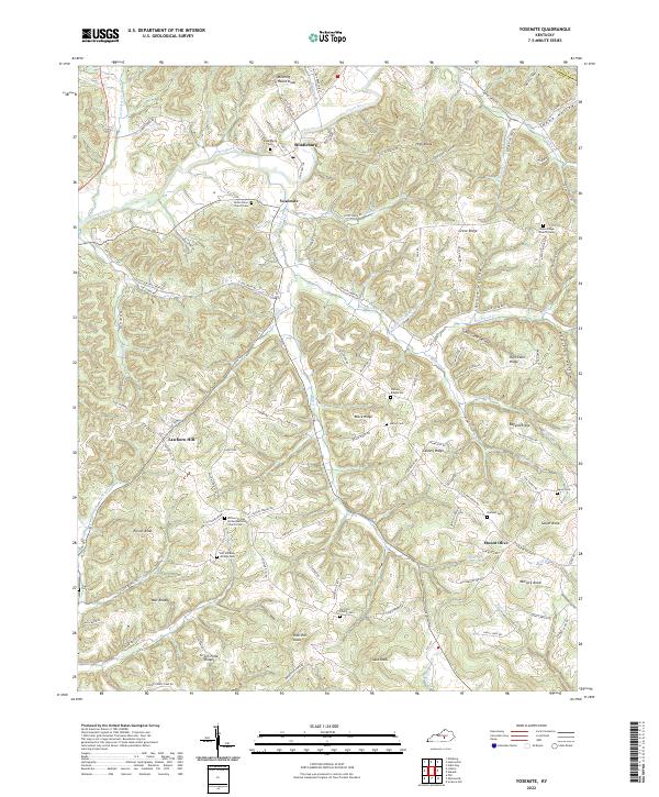
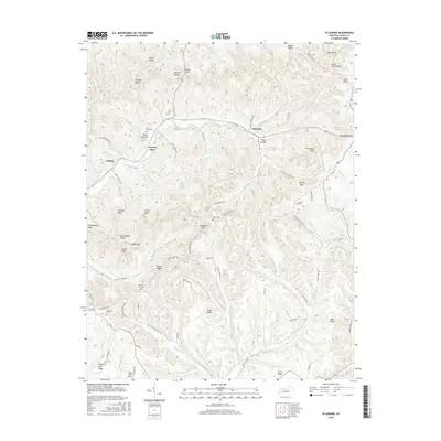
2022 Yosemite
Casey County, KY