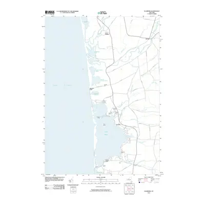
2010 Map of Ellisburg
USGS Topo · Published 2010About this map
Lake Ontario defines the western edge of this coastal landscape, where a series of barrier ponds and intricate wetlands create a complex shoreline. Major water bodies like North Pond, Sandy Pond, and South Pond are separated from the lake by narrow strips of land, supporting a local economy centered on water access. The settlement of Ellisburg serves as a central hub inland, connected to the coast by a network of rural roads such as Co Rte 121 and Washburn Rd. Several marinas, including Freemans Marina and Bartlett Marina, underscore the importance of the waterfront. The area's hydrology is further defined by meandering streams like South Sandy Creek and Lindsey Creek, which flow through the low-lying terrain toward Renshaw Bay. Smaller landmarks like Colwell Hill provide modest elevation overlooking the extensive pond systems.
Find a feature on this map
62 named features on this map. Tap any name to fly to it.
Don’t see what you’re looking for? This feature index may not catch every label — zoom into the map to look around manually.
Map Details
Editions of this 2010 Ellisburg Map
This is the sole edition of this map. No revisions or reprints were ever made.
Other maps of this area

1893 · Sackets Harbor
USGS Topo · 1:62,500

1895 · Sacketts Harbor
USGS Topo · 1:62,500

1895 · Stony Island
USGS Topo · 1:62,500

1895 · Pulaski
USGS Topo · 1:62,500

1942 · Stony Point
USGS Topo · 1:31,680

1942 · Sandy Creek
USGS Topo · 1:24,000

1943 · Henderson
USGS Topo · 1:31,680

1943 · Pulaski
USGS Topo · 1:31,680

1943 · Richland
USGS Topo · 1:31,680

1943 · Texas
USGS Topo · 1:31,680