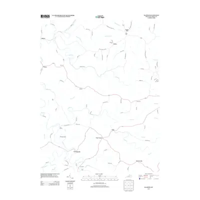
2013 Map of Elliston
USGS Topo · Published 2013About this map
Eagle Cr and its winding tributaries define the rural landscape of Grant County in this modern survey. The map records a network of small, scattered communities including Downingsville, Stewartsville, Jericho, and Folsom, reflecting the enduring agricultural character of the region. Local history and genealogy are anchored by numerous family-named burial sites such as Delf Cem, Sipple Cem, and Webster Cem, which sit alongside historic transit points like Eagle Mill Ford and Twin Bridges. The intricate drainage pattern of Arnolds Cr and Clarks Cr dictates the path of many local roads, such as Elliston Mount Zion Rd and Dry Ridge Mount Zion Rd, which connect the highland ridges to the stream valleys. This layout demonstrates how early settlement and property lines were shaped by the Kentucky creek-and-ridge topography.
Find a feature on this map
83 named features on this map. Tap any name to fly to it.
Don’t see what you’re looking for? This feature index may not catch every label — zoom into the map to look around manually.
Map Details
Editions of this 2013 Elliston Map
This is the sole edition of this map. No revisions or reprints were ever made.
Other maps of this area

1943 · Patriot
USGS Topo · 1:24,000

1950 · Mason
USGS Topo · 1:24,000

1950 · Glencoe
USGS Topo · 1:24,000

1950 · Elliston
USGS Topo · 1:24,000

1950 · Williamstown
USGS Topo · 1:24,000

1950 · Owenton
USGS Topo · 1:24,000

1950 · Verona
USGS Topo · 1:24,000

1950 · Walton
USGS Topo · 1:24,000

1950 · Lawrenceville
USGS Topo · 1:24,000
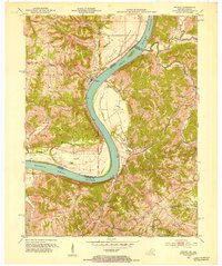
1951 · Patriot
USGS Topo · 1:24,000