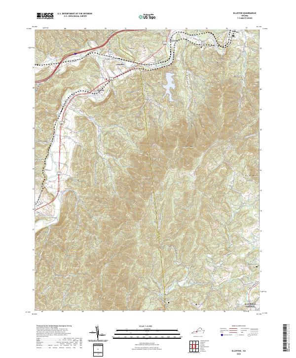
2022 Map of Elliston
USGS Topo · Published 2022About this map
Elliston and Lafayette anchor this modern survey of the Montgomery and Roanoke County border, where the North Fork Roanoke River and South Fork Roanoke River converge. The landscape is defined by the sharp rise of Poor Mtn and Bent Mtn, with numerous hollows like Pedlar Hollow and Deyerle Hollow cutting through the terrain. The presence of the Norfolk Southern rail line and major thoroughfares like Roanoke Rd follow the valley floor, illustrating the persistent importance of this river corridor for transportation. Genealogists will find several family-named burial sites documented, including Duckwiler Cem near Wabun and Craighead Cem further south. The Blue Ridge Parkway skirts the southeastern corner of the sheet, marking the transition into the high ridges of the Virginia mountains.
Find a feature on this map
85 named features on this map. Tap any name to fly to it.
Don’t see what you’re looking for? This feature index may not catch every label — zoom into the map to look around manually.
Map Details
Editions of this 2022 Elliston Map
This is the sole edition of this map. No revisions or reprints were ever made.
Other maps of this area

1890 · Christiansburg
USGS Topo · 1:125,000

1923 · Waiteville
USGS Topo · 1:62,500

1929 · Salem
USGS Topo · 1:48,000

1931 · Waiteville
USGS Topo · 1:48,000

1932 · Salem
USGS Topo · 1:62,500

1932 · Blacksburg
USGS Topo · 1:48,000

1937 · Blacksburg
USGS Topo · 1:62,500

1944 · Waiteville
USGS Topo · 1:62,500

1950 · Elliston
USGS Topo · 1:62,500

1951 · Waiteville
USGS Topo · 1:62,500