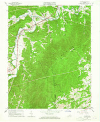
1963 Map of Elliston
USGS Topo · Published 1965About this map
The North Fork Roanoke River and South Fork Roanoke River converge in the northwestern corner of this quadrangle, shaping the development of Elliston, Lafayette, and Shawsville. The Norfolk and Western railroad tracks closely track the river's path, emphasizing the importance of this corridor for regional transit and industry, evidenced by a Quarry and Gaging Station near the water.
Find a feature on this map
45 named features on this map. Tap any name to fly to it.
Don’t see what you’re looking for? This feature index may not catch every label — zoom into the map to look around manually.
Map Details
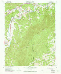
Editions of this 1963 Elliston Map
2 editions found
Other maps of this area

1890 · Christiansburg
USGS Topo · 1:125,000

1923 · Waiteville
USGS Topo · 1:62,500

1929 · Salem
USGS Topo · 1:48,000

1931 · Waiteville
USGS Topo · 1:48,000

1932 · Salem
USGS Topo · 1:62,500

1932 · Blacksburg
USGS Topo · 1:48,000

1937 · Blacksburg
USGS Topo · 1:62,500

1944 · Waiteville
USGS Topo · 1:62,500

1950 · Elliston
USGS Topo · 1:62,500

1951 · Waiteville
USGS Topo · 1:62,500