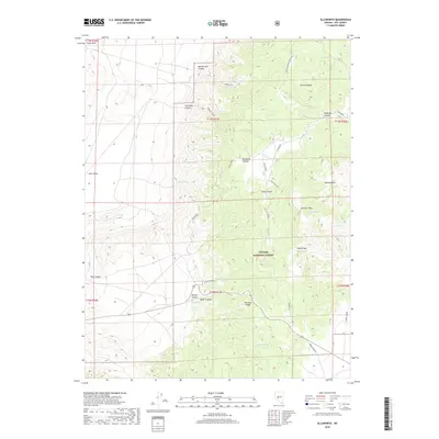
2018 Map of Ellsworth
USGS Topo · Published 2018About this map
Toiyabe National Forest dominates this landscape in the Paradise Range, where the terrain is marked by deep canyons and high summits like Fairview Peak and Sherman Peak. The map reveals a history of extraction through several named operations, including the Return Mine, Vindicator Mine, and Craig Mining. These sites are linked by a network of specialized roads such as the Big Spring-Flagstaff Loop and Ellsworth road, which navigate the complex topography of Ellsworth Canyon and Flagstaff Canyon. To the west, the land descends from the Lodi Hills into the Lodi Valley, while the eastern portion features Lebeau Park. Essential water sources for the region, such as Big Spring, Ottawa Spring, and Green Spring, are dispersed throughout the drainage systems of Antelope Wash and the various canyons, supporting movement through Camel Pass.
Find a feature on this map
41 named features on this map. Tap any name to fly to it.
Don’t see what you’re looking for? This feature index may not catch every label — zoom into the map to look around manually.
Map Details
Editions of this 2018 Ellsworth Map
This is the sole edition of this map. No revisions or reprints were ever made.
Other maps of this area

1907 · Tonopah
USGS Topo · 1:250,000

1908 · Tonopah
USGS Topo · 1:250,000

1948 · Paradise Peak
USGS Topo · 1:62,500

1948 · Ione
USGS Topo · 1:62,500

1950 · Paradise Peak
USGS Topo · 1:62,500

1950 · Ione
USGS Topo · 1:62,500

1955 · Millett
USGS Topo · 1:250,000

1956 · South Shoshone Peak
USGS Topo · 1:62,500

1956 · Tonopah
USGS Topo · 1:250,000

1959 · Tonopah
USGS Topo · 1:250,000