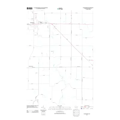
2013 Map of Ellsworth
USGS Topo · Published 2013About this map
Ellsworth serves as the primary hub of this Pierce County landscape, situated at the intersection of several significant regional thoroughfares including Us-10 and Us-63. The settlement pattern bifurcates into the main village and East Ellsworth, which sits just to the east near the headwaters of Isabelle Cr. This stream system, along with Lost Cr in the northeast, dictates much of the local topography as it drains the surrounding agricultural lands. The terrain is largely defined by the steady grid of county roads and avenues, though prominent natural features like Ulvin Hill to the south provide distinct vertical relief. Smaller rural crossroads like Snows Corner demonstrate the enduring legacy of early Wisconsin township divisions, where local commerce once centered around these specific highway junctions.
Find a feature on this map
53 named features on this map. Tap any name to fly to it.
Don’t see what you’re looking for? This feature index may not catch every label — zoom into the map to look around manually.
Map Details
Editions of this 2013 Ellsworth Map
This is the sole edition of this map. No revisions or reprints were ever made.
Other maps of this area

1940 · Maiden Rock
USGS Topo · 1:62,500

1944 · Red Wing
USGS Topo · 1:62,500

1946 · River Falls
USGS Topo · 1:62,500

1949 · River Falls
USGS Topo · 1:62,500

1949 · Baldwin
USGS Topo · 1:62,500

1950 · Maiden Rock
USGS Topo · 1:62,500

1952 · Red Wing
USGS Topo · 1:62,500

1953 · Saint Paul
USGS Topo · 1:250,000

1959 · Saint Paul
USGS Topo · 1:250,000
1974 · River Falls East
USGS Topo · 1:24,000