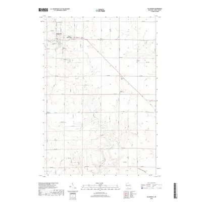
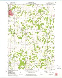
2018 Map of Ellsworth
USGS Topo · Published 2018About this map
Ellsworth and East Ellsworth serve as the primary hubs in this part of Pierce County, where a grid of rural roads meets the winding path of Isabelle Cr. The landscape is defined by its agricultural layout and deep-seated community anchors, particularly its high concentration of local cemeteries. From the Maple Grove Cem near the town center to the outlying Old Clayfield Cem and Clayfield Catholic Cem, these sites offer significant touchpoints for genealogical research.
Find a feature on this map
67 named features on this map. Tap any name to fly to it.
Don’t see what you’re looking for? This feature index may not catch every label — zoom into the map to look around manually.
Map Details
Editions of this 2018 Ellsworth Map
This is the sole edition of this map. No revisions or reprints were ever made.
Other maps of this area
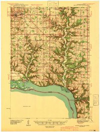
1940 · Maiden Rock
USGS Topo · 1:62,500
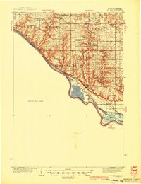
1944 · Red Wing
USGS Topo · 1:62,500
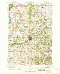
1946 · River Falls
USGS Topo · 1:62,500
1949 · River Falls
USGS Topo · 1:62,500
1949 · Baldwin
USGS Topo · 1:62,500
1950 · Maiden Rock
USGS Topo · 1:62,500
1952 · Red Wing
USGS Topo · 1:62,500

1953 · Saint Paul
USGS Topo · 1:250,000

1959 · Saint Paul
USGS Topo · 1:250,000
1974 · River Falls East
USGS Topo · 1:24,000