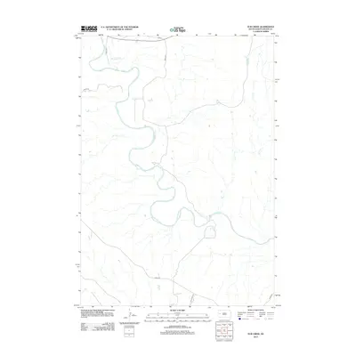
2012 Map of Elm Creek
USGS Topo · Published 2012About this map
The Belle Fourche River winds dramatically through this Meade County landscape, defining the topography of a region dominated by wide drainage basins and sparse rural infrastructure. In this 2012 snapshot, the river's serpentine path is met by smaller tributaries like Fourmile Cr and Elm Cr, which carve through the open plains. The road network is primarily composed of long-haul routes and ranch access ways, such as Alkali Rd and Star Ranch Rd, reflecting the expansive scale of South Dakota's ranching country. While the terrain appears largely unsettled, the presence of named corridors like Impala Pl and Hamlet Pl suggests modern residential or agricultural divisions near the established San 34 highway, illustrating the slow evolution of land use in the Western Dakotas.
Find a feature on this map
9 named features on this map. Tap any name to fly to it.
Don’t see what you’re looking for? This feature index may not catch every label — zoom into the map to look around manually.
Map Details
Editions of this 2012 Elm Creek Map
This is the sole edition of this map. No revisions or reprints were ever made.
Other maps of this area
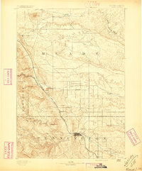
1893 · Rapid
USGS Topo · 1:125,000
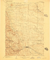
1898 · Rapid
USGS Topo · 1:125,000
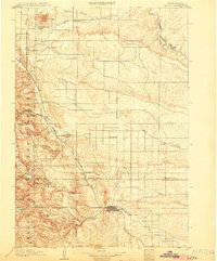
1903 · Rapid
USGS Topo · 1:125,000
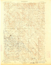
1913 · Newell
USGS Topo · 1:125,000
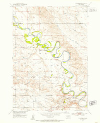
1951 · Volunteer
USGS Topo · 1:24,000
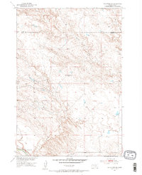
1951 · Volunteer SE
USGS Topo · 1:24,000
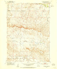
1953 · Rapid City 1 SW
USGS Topo · 1:24,000
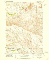
1953 · Rapid City 1 NW
USGS Topo · 1:24,000
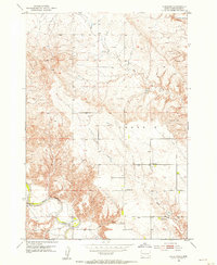
1953 · Hereford
USGS Topo · 1:24,000
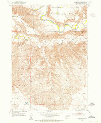
1953 · Hereford SW
USGS Topo · 1:24,000