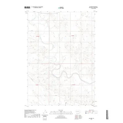
2017 Map of Elm Creek
USGS Topo · Published 2017About this map
The Belle Fourche River winds through the heart of this Meade County landscape, carving a wide alluvial valley defined by its deep meanders and associated drainage systems. This 2017 study illustrates the sparse, rural nature of the northern Black Hills periphery, where land use is dominated by large-scale ranching and open range. The river is the primary geographical anchor, joined by Fourmile Cr in the north and the eponymous Elm Creek which feeds into the valley from the east. Transportation is limited to a handful of gravel routes, most notably Alkali Rd and Star Ranch Rd, which follow the contours of the high plains. The map reveals the characteristic grid of the Public Land Survey System, with township boundaries like t6n r8e and t5n r9e marking the sectioned territory of the South Dakota prairie.
Find a feature on this map
10 named features on this map. Tap any name to fly to it.
Don’t see what you’re looking for? This feature index may not catch every label — zoom into the map to look around manually.
Map Details
Editions of this 2017 Elm Creek Map
This is the sole edition of this map. No revisions or reprints were ever made.
Other maps of this area
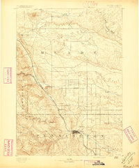
1893 · Rapid
USGS Topo · 1:125,000
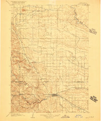
1898 · Rapid
USGS Topo · 1:125,000
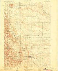
1903 · Rapid
USGS Topo · 1:125,000
1913 · Newell
USGS Topo · 1:125,000
1951 · Volunteer
USGS Topo · 1:24,000
1951 · Volunteer SE
USGS Topo · 1:24,000
1953 · Rapid City 1 SW
USGS Topo · 1:24,000
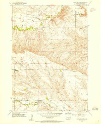
1953 · Rapid City 1 NW
USGS Topo · 1:24,000
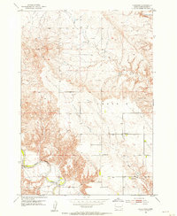
1953 · Hereford
USGS Topo · 1:24,000
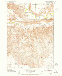
1953 · Hereford SW
USGS Topo · 1:24,000