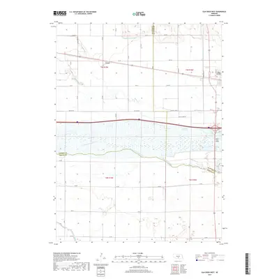
2021 Map of Elm Creek West
USGS Topo · Published 2021About this map
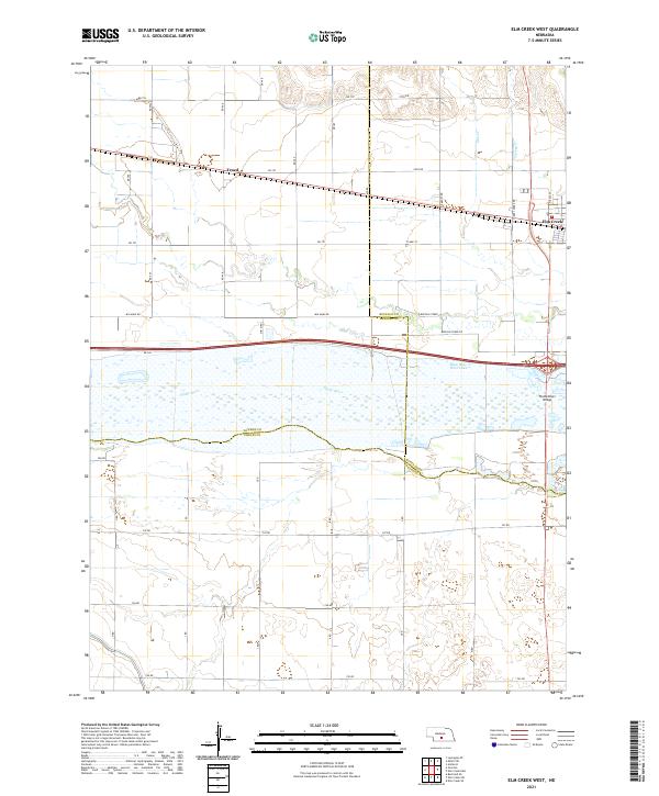
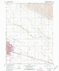
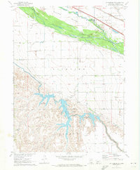
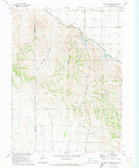
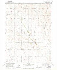
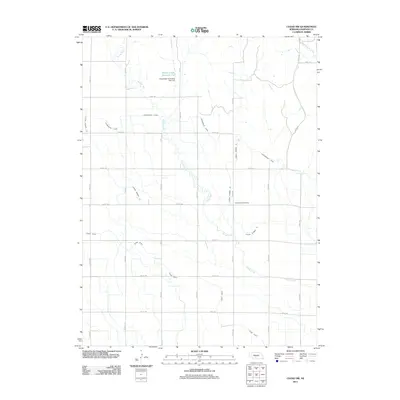
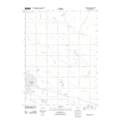
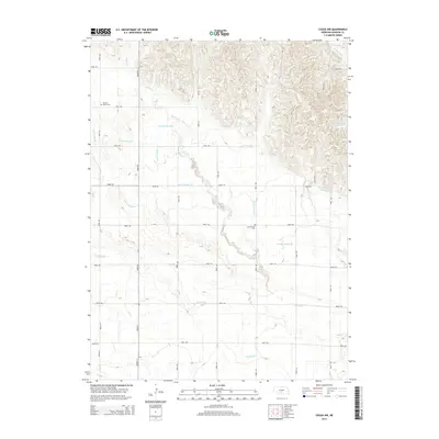
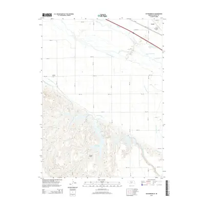
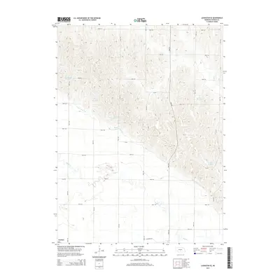
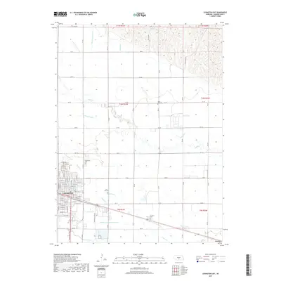
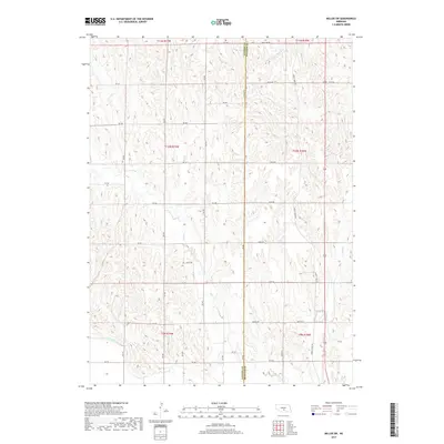
The Platte River corridor defines the heart of this landscape, its braided channels and adjacent wetlands weaving through the southern half of the quadrangle. As of 2021, the map illustrates a complex intersection of county lines where Dawson, Buffalo, and Phelps counties meet near the river’s edge. The settlement of Trued sits along the rail lines and Rd 752 in the northern reaches, while the western outskirts of Elm Creek appear on the eastern margin. Human engineering is prominent here, from the Platte River Bridge crossing the main waterway to the extensive network of rural roads such as Min Main Rd and Buffalo Creek Rd. These transit lines cut across the drainage basins of Turkey Cr and Elm Cr, revealing how agricultural development and infrastructure have been adapted to the river's expansive floodplain.
Find a feature on this map
27 named features on this map. Tap any name to fly to it.
Don’t see what you’re looking for? This feature index may not catch every label — zoom into the map to look around manually.
Map Details
Editions of this 2021 Elm Creek West Map
This is the sole edition of this map. No revisions or reprints were ever made.
Historical Maps of Elm Creek Through Time
50 maps found
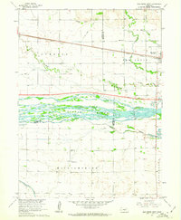
1961 Elm Creek West
Dawson County, NE
1961 Miller SW
Dawson County, NE
1962 Buffalo
Dawson County, NE
1962 Lexington East
Dawson County, NE
1962 Lexington NW
Dawson County, NE
1962 Lexington SE
Dawson County, NE
1962 Lexington West
Dawson County, NE
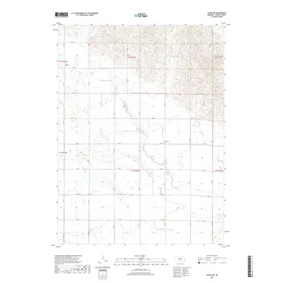
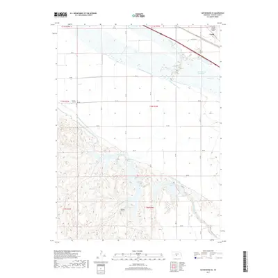
1970 Gothenburg SE
Dawson County, NE
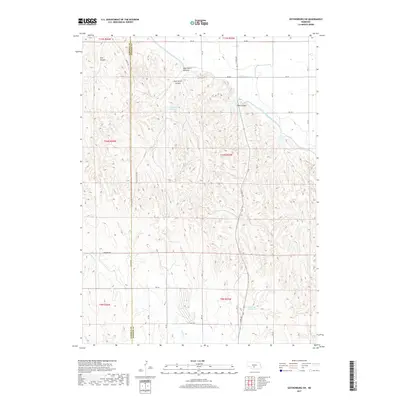
1970 Gothenburg SW
Dawson County, NE
1971 Cozad NW
Dawson County, NE
2011 Buffalo
Dawson County, NE
2011 Cozad NW
Dawson County, NE
2011 Elm Creek West
Dawson County, NE
2011 Gothenburg SE
Dawson County, NE
2011 Gothenburg SW
Dawson County, NE
2011 Lexington East
Dawson County, NE
2011 Lexington NW
Dawson County, NE
2011 Lexington SE
Dawson County, NE
2011 Lexington West
Dawson County, NE
2011 Miller SW
Dawson County, NE
2014 Buffalo
Dawson County, NE
2014 Cozad NW
Dawson County, NE
2014 Elm Creek West
Dawson County, NE
2014 Gothenburg SE
Dawson County, NE
2014 Gothenburg SW
Dawson County, NE
2014 Lexington East
Dawson County, NE
2014 Lexington NW
Dawson County, NE
2014 Lexington SE
Dawson County, NE
2014 Lexington West
Dawson County, NE
2014 Miller SW
Dawson County, NE
2017 Buffalo
Dawson County, NE
2017 Cozad NW
Dawson County, NE
2017 Elm Creek West
Dawson County, NE
2017 Gothenburg SE
Dawson County, NE
2017 Gothenburg SW
Dawson County, NE
2017 Lexington East
Dawson County, NE
2017 Lexington NW
Dawson County, NE
2017 Lexington SE
Dawson County, NE
2017 Lexington West
Dawson County, NE
2017 Miller SW
Dawson County, NE
2021 Buffalo
Dawson County, NE
2021 Cozad NW
Dawson County, NE
2021 Elm Creek West
Dawson County, NE
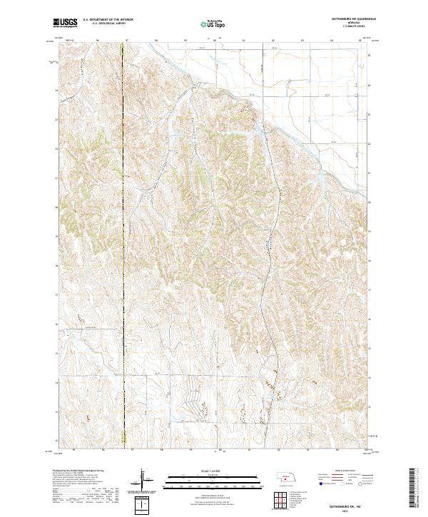
2021 Gothenburg SE
Dawson County, NE
2021 Gothenburg SW
Dawson County, NE
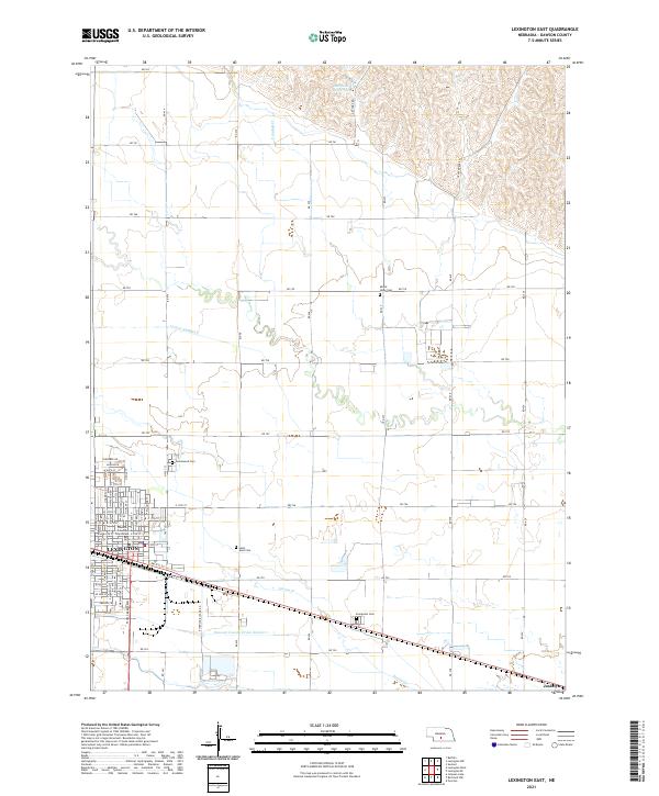
2021 Lexington East
Dawson County, NE
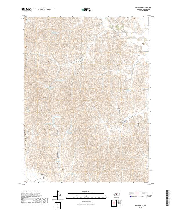
2021 Lexington NW
Dawson County, NE
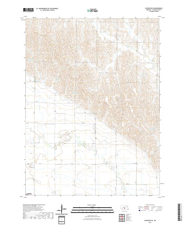
2021 Lexington SE
Dawson County, NE
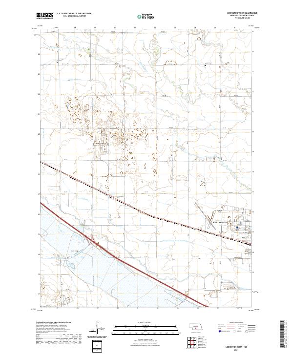
2021 Lexington West
Dawson County, NE
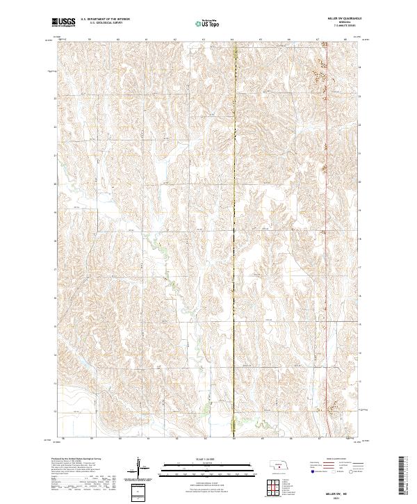
2021 Miller SW
Dawson County, NE